
TDY: VARIABLY CLOUDY, A SHOWER OR TWO – 70
TNTE: CLOUDY- LOWER 60S
THUR: PARTLY CLOUDY – MID 70S
FRI: SUN AND CLOUDS, MID 60S
SAT: CLOUDY- LATE SHOWERS - 70
WEATHER TRIVIA: 1934 – SEVERE WIND STORM –PACIFIC COAST: 87 MPH WINDS IN WASHINGTON STATE….22 DEAD, 1.7 MILLION IN DAMAGES.
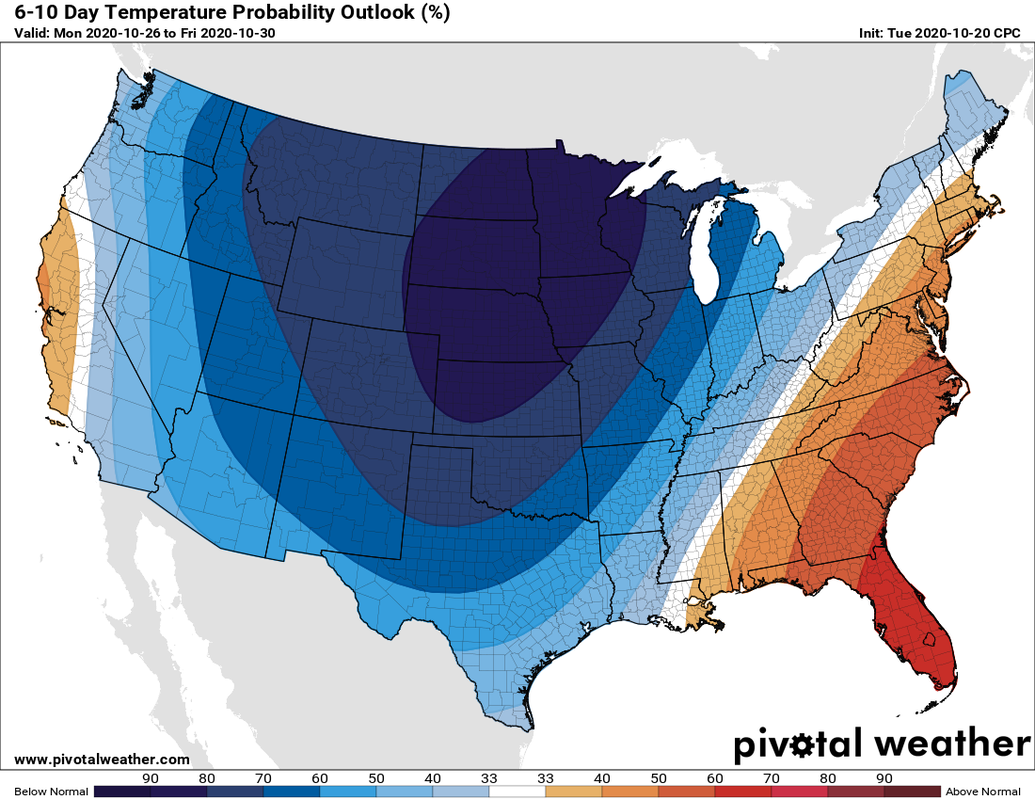
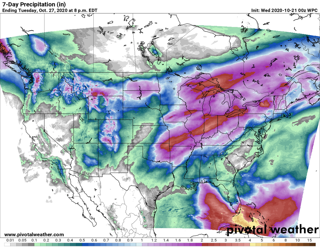
NOAA'S 10 day outlook for temperatures - through next Friday......mild west coast and Eastern third of the Nation....cold elsewhere. Below...current satellite + radar showing wet weather over Ohio Valley and Florida....snow No. Rockies into Plains, animated maps, rainfall through next Tuesday.

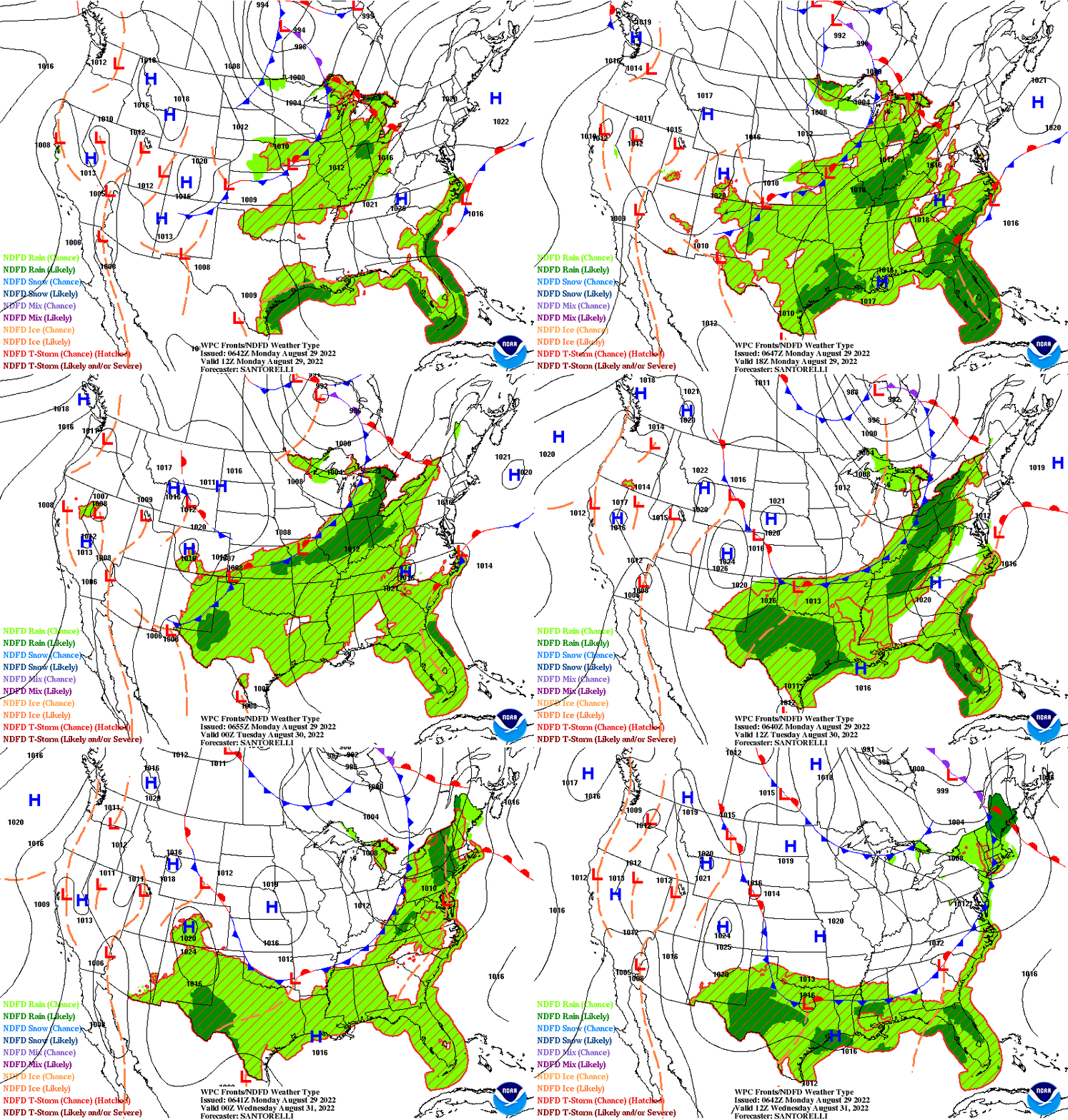

Back Into the Freezer Radar shows 2 bands of precip….first all rain…some of it heavy with thunderstorms….2nd – rain changes to ice and snow....

Your Robin Hood Radio Tri-State Forecast TDY – PERIODS OF RAIN, FREEZING RAIN A/O SLEET – MID 30S TNTE – PRECIP ENDS….MID 20S FRI...
Share this:TwitterFacebookEmailLike this:Like Loading...