TNTE: CLEAR – MID 60S
THURS: PARTLY CLOUDY - MID 80S
FRI: SOME SUN – SCATTERED SHOWERS & STORMS – MID 80S
SAT: SOME SUN, HUMID – SHOWERS AND THUNDERSTORMS – MID 80S
WEATHER TRIVIA:1961 – RECORD HIGH TEMPERATURE FOR WASHINGTON STATE – 118 F @ ICE HARBOR DAM

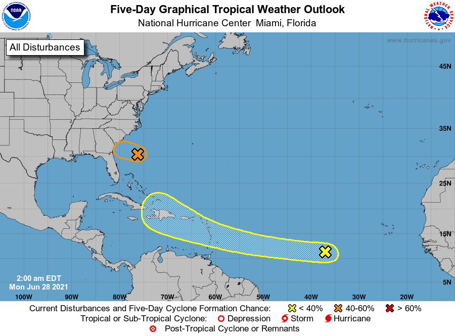
Isaias is out of the picture. Humid air still dominates with showers and storms in Plains headed for East Coast Thursday nite and Friday. Below - animated maps...severe outlook for today - rainfall through Sunday and current tropical Atlantic,


Snapshot weather for Thursday. Be safe.


Share this:TwitterFacebookEmailLike this:Like Loading...

Your Robin Hood Radio Tri-State Forecast TDY: PARTLY SUNNY – LOWER 40S TNTE: CLOUDY- 30 THURS: SOME SUN – 40 FRI: CLOUDY- LATE SHOWER...

WEATHERCAST: WEDNESDAY’S STORM NOW OVER MAINE WILL SEND A SPOKE OF LOW PRESSURE THIS WAY, SO SOME SNOW SHOWERS ARE POSSIBLE WITH LOTS OF...