YOUR FORECAST:
TDY: CLOUDY-WINDY - SHOWERS – 70-75
TNTE: WINDY WITH RAIN..SCATTERED THUNDERSTORMS - 60
SAT: PERIODS OF RAIN AND SHOWERS – VERY WINDY – 70
EASTER: VARIABLY CLOUDY AND WINDY- SCATTERED SHOWERS – MID 60S
MON: PARTLY CLOUDY- SHOWERS – 70-75
WEATHER TRIVIA:1941 – DURHAM, N.H. HITS 95 – HIGHEST EVER IN NEW ENGLAND IN APRIL.

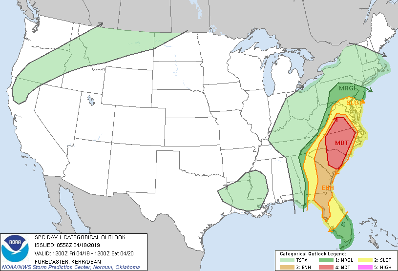
| Turbulent Weather For The East4/19/20190 Comments Map above shows risk of severe weather today from dark green to red. The red area is the greatest risk...and this area could see tornadoes. |
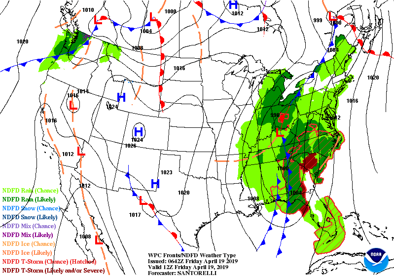
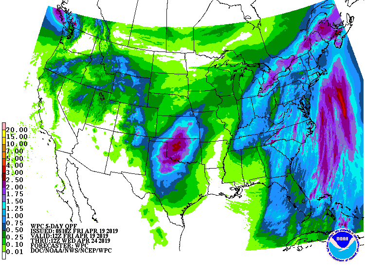
Below - animated maps into the weekend followed by rainfall into Wednesday.
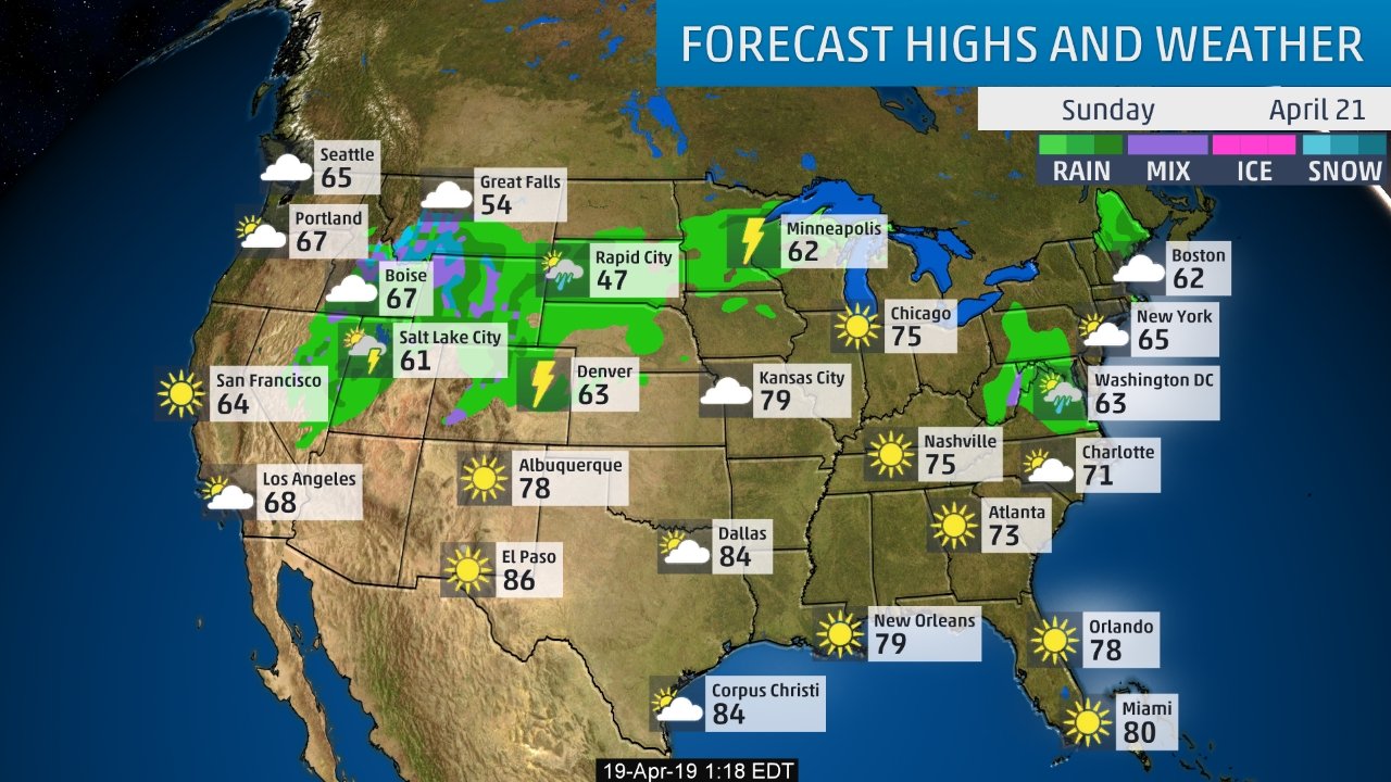
| Below- conditions and temps for Easter Sunday. Be safe and have a wonderful holy-day weekend.ed maps thru the weekend. Be safe. |

YOUR FORECAST: TDY: SUNNY – LOWER 50S TONITE: CLEAR – MID 20S THURS: SUN MIXING WITH CLOUDS – MID 50S FRI: MOSTLY CLOUDY- A...
YOUR FORECAST: TDY: MOSTLY SUNNY – 70 TNTE: CLEAR – CHILLY – 40-45…LOCALLY SOME 30S THURS: CONTINUED SUNNY – LOW 70S FRI: MAINLY SUNNY...

TODAY – CLOUDY- SHOWERS DEVELOPING – 55-60 TONIGHT– SHOWERS, A THUNDERSTORM – LOWER 50S FRIDAY – SHOWERS TAPERING OFF- PARTLY SUNNY - WINDY –...