
YOUR FORECAST:
TODAY: SUNNY AND SPRINGLIKE – MID 60S
TNTE: PARTLY CLOUDY – 40-45
TUESDAY: STILL MILD BUT WITH CLOUDS AND SOME LATE SHOWERS – 60
WED: SOME SUN –– MID 50S
THURS: SCATTERED SHOWERS OTHERWISE PARTLY CLOUDY – MID 40S
WEATHER TRIVIA:1943 – TEMP. DROPS TO -43 AT LAC FRONTIERE, MAINE – COLDEST EVER IN NEW ENGLAND IN MONTH OF MARCH.

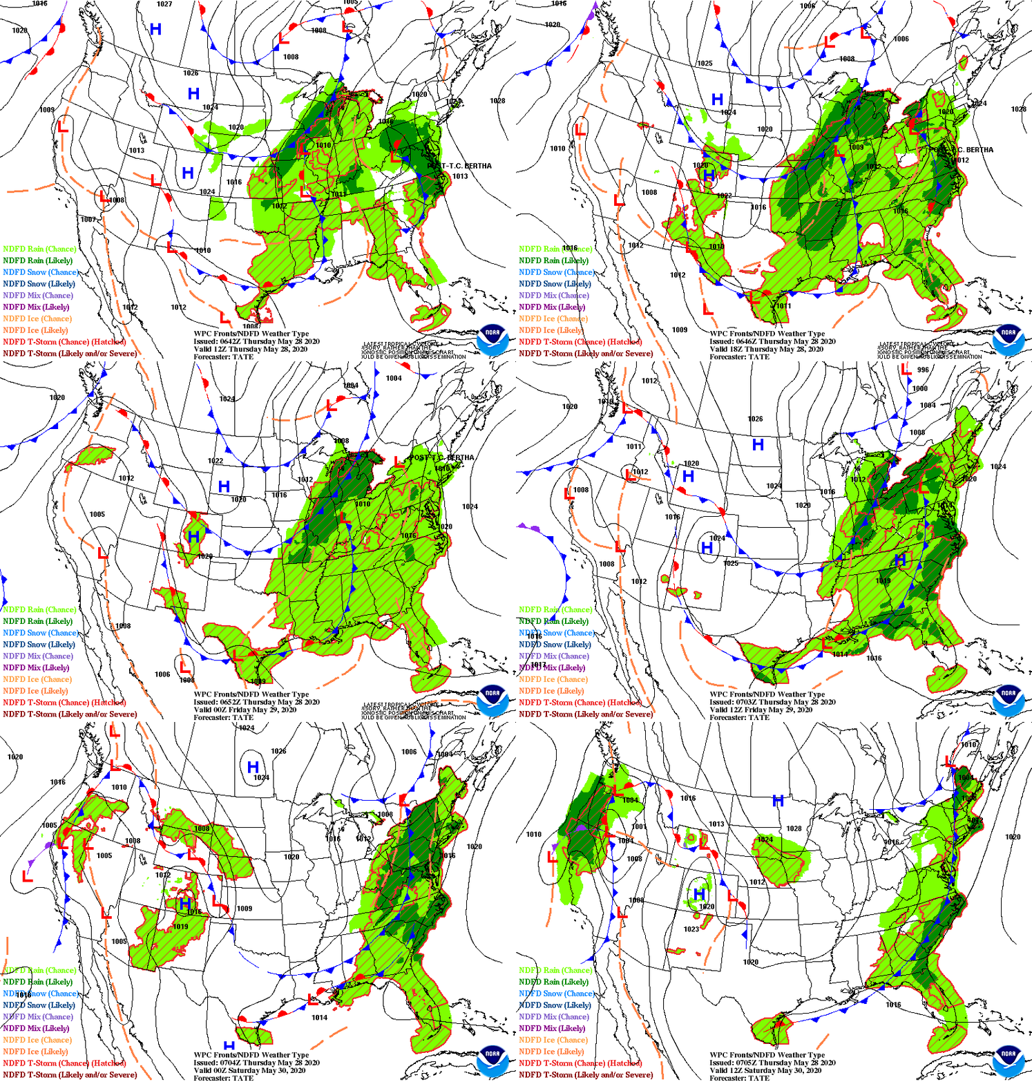
Very mild for the Eastern half of the Nation. Wet weather in Plains moving east - reaching EastCoast Tuesday night. Rain moving into California and may stay unsettled all week. Windy and unsettled Bahamas. Below - risk of severe weather today in dark green...mainly Oklahoma.

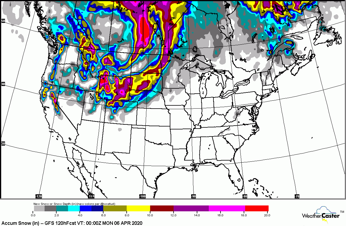
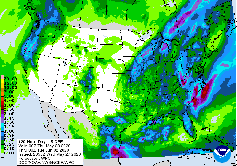
Below - animated maps for the next 2 days - snowfall and rainfall projections into Friday.


Snapshot weather for Tuesday below. Be safe.


ODAY – CLOUDY WITH SHOWERS – LOWER 50S TONIGHT – SHOWERS END – WINDY – 35-40 TUESDAY – SUNNY- WINDY - 45-50 WEDNESDAY –...

Your Robin Hood Radio Tri-State Forecast TDY: PARTLY SUNNY – MID 40S TNTE: CLEAR – 25-30 THUR: PARTLY SUNNY – BRISK – 35-40 FRI:...

This Hazardous Weather Outlook is for northwestern Connecticut,western Massachusetts, east central New York, eastern New York andsouthern Vermont. Tonight.Monday through Saturday. Additional showers and...