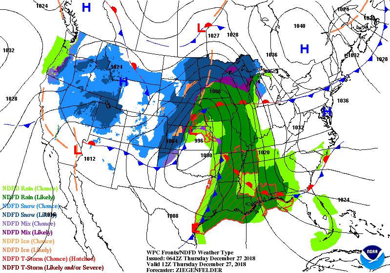
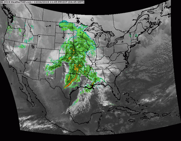
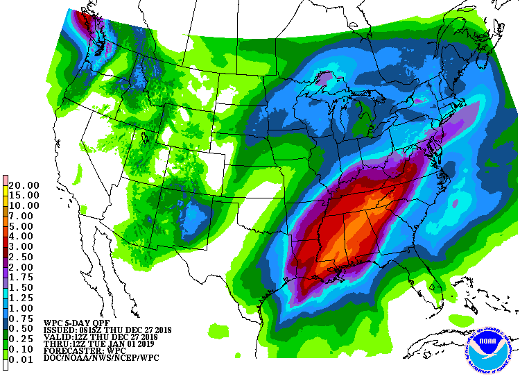
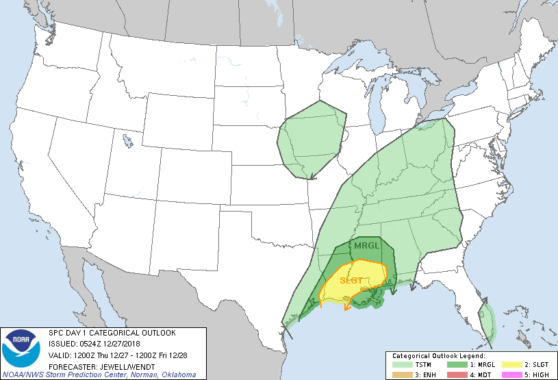
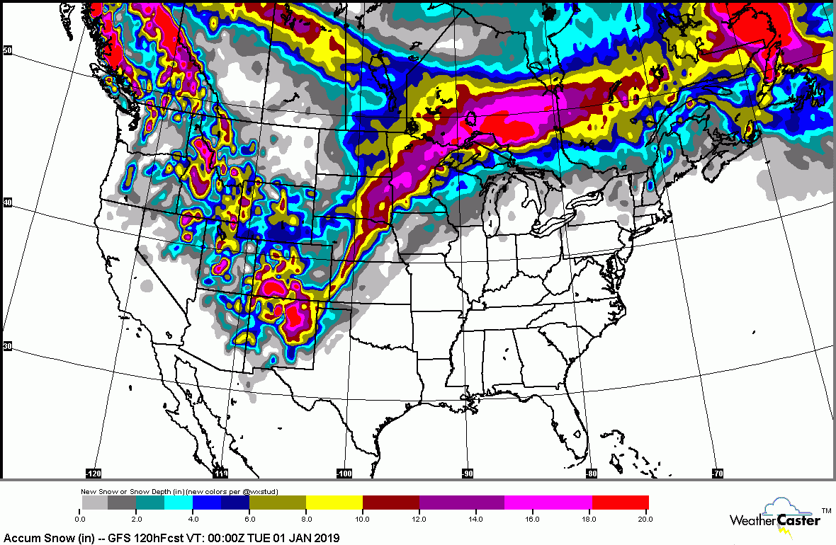
| Another Rain Event -East - Blizzard = West12/27/20180 Comments Satellite/radar - above - winter storm bringing blizzard weather to Northern Plains and Upper Midwest - up to 1 foot in many areas there..severe thunderstorms and tornadoes south. This system moves into the East late tonight through Friday with more heavy rains. Below- todays risk of severe weather in green....yellow and tan.Below - snowfall predictions for next 5 days....followed by rainfall for next 5 days. Below - animated maps for the next 2 days....followed by high temperatures for Friday. Be safe. |

WEATHER TRIVIA: 1896 – CLIMAX, COLORADO – REPORTS 10 BELOW ZERO – LOWEST EVER IN THE U.S. IN MONTH OF MA SHORT VERSION: TODAY: ...

Your Robin Hood Radio Tri-State Forecast TDY – SUNNY – 55-60 TNTE – CLEAR- LOWER 30S SAT – SUNNY- LOWER 60S SUN – SUNNY-...

Your Robin Hood Radio Tri-State Forecast TODAY- SUNNY- HOT- HUMID – 85-90 TONIGHT – PARTLY CLOUDY – 65-70 TUESDAY – HAZY- HUMID – CHANCE...