
YOUR FORECAST:
TDY: CLOUDY- ANY WINTRY MIX CHANGES TO RAIN – MID 40S
TNTE: CLEARING- MID 20S
FRI: INEFFECTIVE SUNSHINE WITH AN ICY WIND AND SOME FLURRIES –TEMPS IN 20S FALLING INTO TEENS
SAT: SUNNY AND COLD – MID 20S
SUN: INCREASING CLOUDS, LATE SNOWSHOWERS - 40
WEATHER TRIVIA:1899- BLIZZARD – 44” SNOW @ ATLANTIC CITY

Above - projected temperatures for this Saturday morning....have the hot chocolate ready. Below - satellite + radar showing arctic cold front over Appalachians with rain and some snow across No. New England...where..3-5" will fall. Elsewhere - quiet.

Below - today's risk of severe weather in green

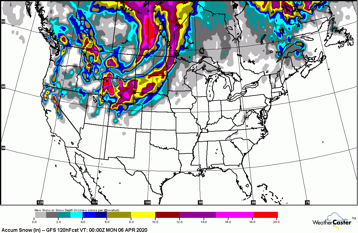
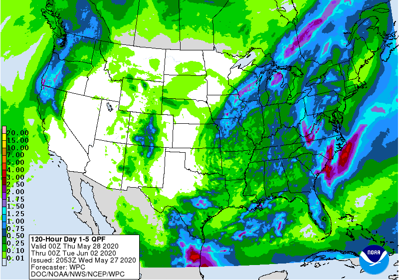
Following. animated maps...projected snowfall and rainfall thru Monday.


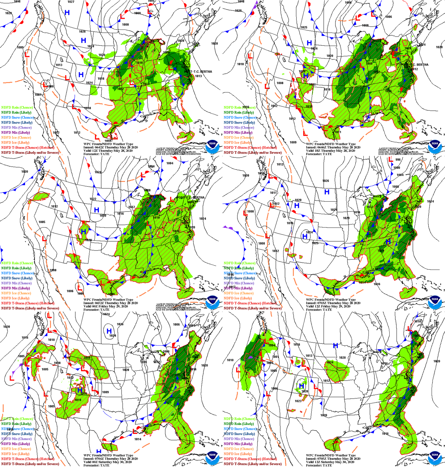
We end with snapshot weather for Friday. Be safe.


Your Robin Hood Radio Tri-State Forecast TODAY – HAZY – HUMID – SCATTERED SHOWERS AND THUNDERSTORMS – 75-80 TONIGHT – SHOWERS – 70 FRIDAY...

Your Robin Hood Radio Tri-State Forecast TODAY – PARTLY SUNNY- WINDY AND COLDER – 40S AND FALLING TONIGHT – CLEAR AND COLD – 20-25...

Your Robin Hood Radio Tri-State Forecast TDY – CLOUDS MIXED WITH SUN – BREEZY – LOWER 50S TNTE – CLEAR – MID 20S TUES...