

YOUR FORECAST:
TDY SHOWERS THEN A BLEND OF SUN AND CLOUDS – WINDY – 40-45
TNTE: CLEAR-WINDY- COLD – 15-20
FRI: SUNNY – COLD – 25-30
SAT: TURNING CLOUDY- SNOW DEVELOPING – 30
SUN: SNOWSHOWERS THEN PARTLY CLOUDY AND WINDY - 40
WEATHER TRIVIA:1831- GREAT SNOWSTORM IN NORTHEAST: BOSTON =24”NEW BEDFORD, MA. = 36”

Above - Satellite + radar not looking bad. A couple of fronts moving by this week...but a strong front will bring much colder air by Friday to the East. On it's heels..a large winter storm hits Central Friday - comes east by Saturday. Below - high temperature for this Friday - followed by map projection for weekend storm on Saturday.


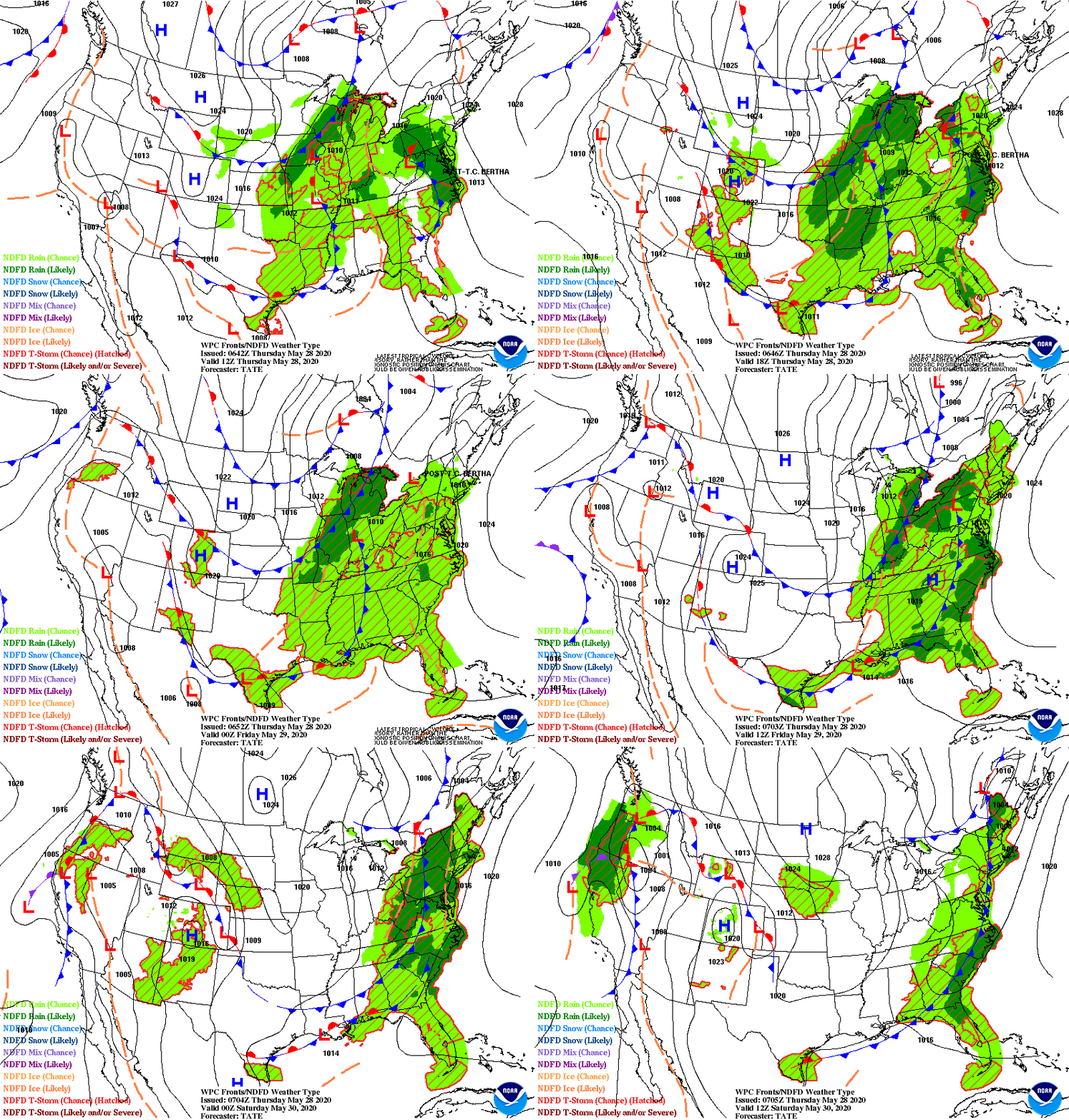
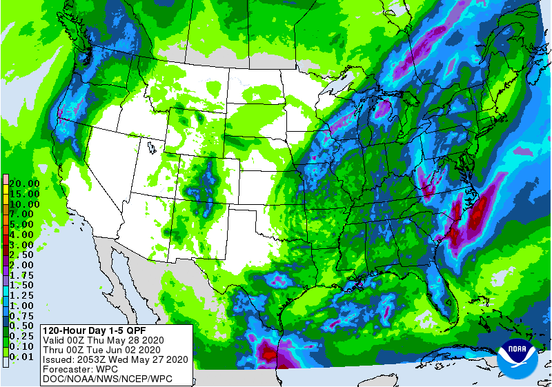
Below - animated maps next 2 days - snowfall thru Friday - rainfall thru Saturday.

Below - snapshot weather for Tuesday. Be safe.


TDY: SHOWERS FOLLOWED BY SOME AFTERNOON CLEARING – MID 60S TNTE:PARTLY CLOUDY- MID 40S SAT: PARTLY SUNNY – MID UPPER 60S SUN: SUN THEN...

Severe outbreak for the South then wet for The East Saturday night into Sunday. Warmer weather takes hold next week. Below – animated maps...
YOUR FORECAST: TDY: SOME SUN – LATE SNOW SHOWERS - LOWER 40S TNTE: SOME FLURRIES OTHERWISE CLOUDY - 30 THURS: PARTLY CLOUDY- 40FRI: PARTLY...