

YOUR FORECAST:
TDY: SUNNY AND COLD – 30
TNTE: CLEAR – 15-20
FRI: VARIABLY CLOUDY – MID 40S
SAT: VERY MILD – PERIODS OF RAIN- 55-60
SUN: SHOWERS THEN SOME CLEARING AND WINDY- 45-50
WEATHER TRIVIA:1886 – BLIZZARD HITS NEW ENGLAND – BOSTON RECORDS 64 MPH WINDS

Above - early morning actual wind chills. Arctic air will be replaced by
unseasonably warm air for the East this weekend. Temps could hit 70 as far north as New York City...60s New England. Talk about a January thaw ? Below....satellite and radar picture.

Below - animated maps through Friday - snowfall thru Sunday - Rainfall through Monday.
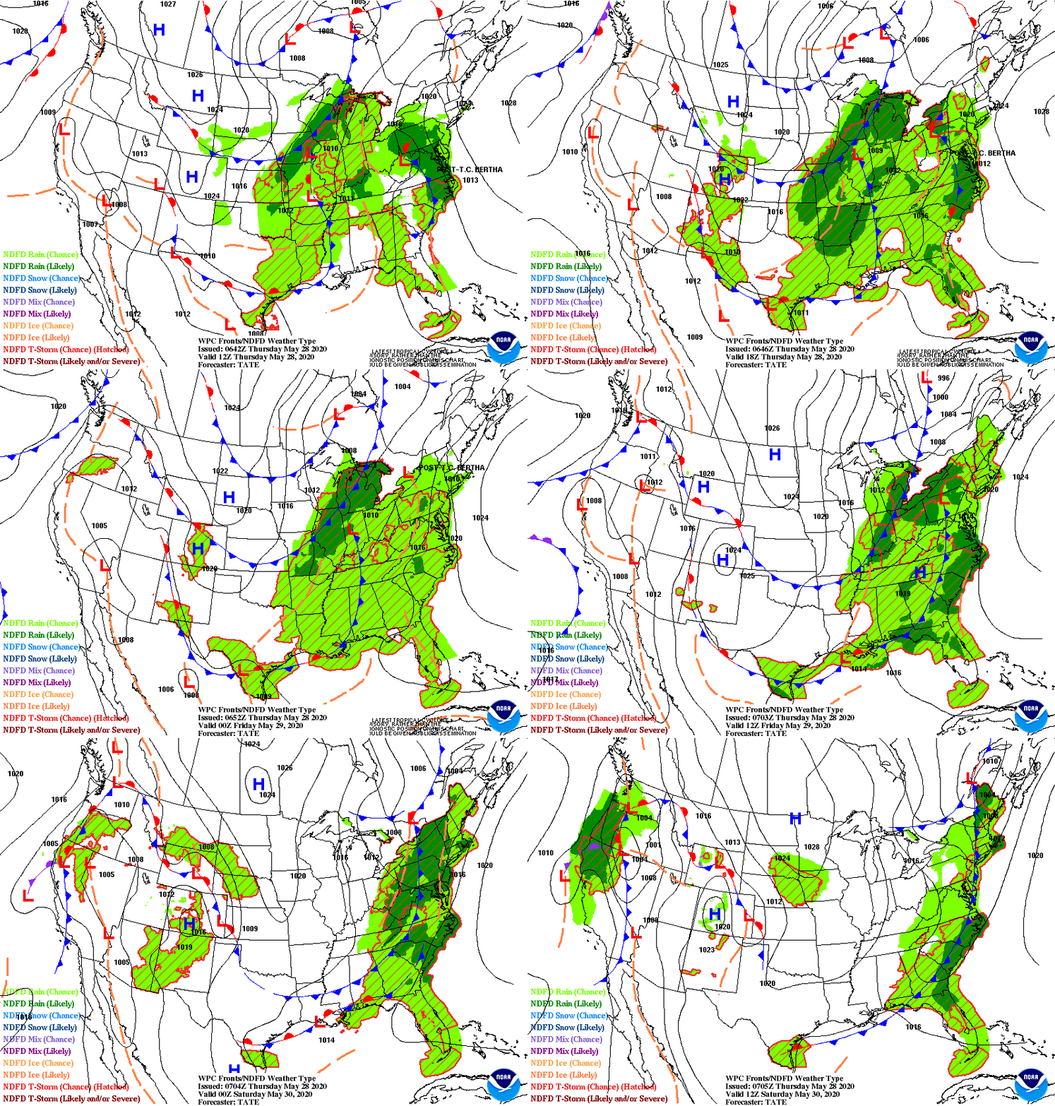


Below - snapshot weather for Friday. Be safe.


WEATHERCAST: OUR LATEST WINTER STORM ALONG THE NEW ENGLAND COAST WILL HEAD NORTH AND TAKE ANY STEADY SNOW OR RAIN WITH IT. SPOKES OF...
East: Milder Into Weekend; Midwest: Snow Radar shows rain from Great Lakes to Ohio Valley which will intensify by time it reaches East Coast...

…WINTER STORM WARNING REMAINS IN EFFECT UNTIL 4 PM EST THISAFTERNOON… WHAT…Additional snow accumulations of up to two inches. Windsgusting as high as 35...