

YOUR FORECAST:
TDY: HAZY – SCATTERED SHOWERS AND THUNDERSTORMS – 80
TNTE: CLEARING – 55-60
FRI: SUNNY, LESS HUMID – MID 80S
SAT: SOME SUN – 75-80
SUN: CLOUDY- CHANCE OF SHOWERS – 70-75
WEATHER TRIVIA:1958 – STRONG COLD FRONT DROPS 2”-4” OF RAIN WITH 70 MPH WINDS IN EAST.

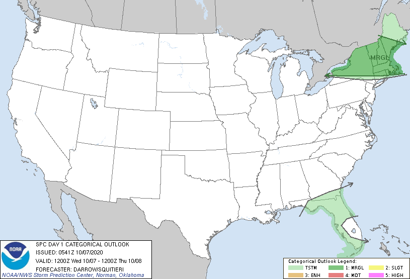
Satellite + radar above show the remains of Cristobal speeding north through Wisconsin. Showers and storms in Mississippi Valley head east to the East Coast Thursday. Rest of the Nation...quiet. Below - today's threat for severe weather dark green - yellow- orange - and Red - which is a serious threat of Michigan and Ohio.
Below - animated maps for the next 2 days + rainfall through Saturday + latest pollen map.


Anthony Jay Anthony is a graduate from Albany State with a degree in Broadcast Meteorology. He was top forecaster at SUNY Albany and won...

TODAY – SUN- PATCHY CLOUDS, WINDY – 60 TONIGHT – CLEAR- MID 30S SATURDAY – PARTLY CLOUDY- LOWER 60S SUNDAY – SUNNY- 70-75 MONDAY...
...WINTER STORM WATCH IN EFFECT FROM SATURDAY AFTERNOON THROUGH SUNDAY EVENING... * WHAT...Heavy mixed precipitation possible. Total snow and sleet accumulations in excess of...