
...WIND ADVISORY IN EFFECT UNTIL 8 PM EDT THIS EVENING......FLOOD WATCH IN EFFECT THROUGH FRIDAY MORNING...

This Hazardous Weather Outlook is for northwestern Connecticut,western Massachusetts, eastern New York and southern Vermont.
.DAY ONE...Today and tonight. Please listen to NOAA Weather Radio or go to weather.gov on theInternet for more information about the following hazards. Flood Watch. Wind Advisory.
.DAYS TWO THROUGH SEVEN...Friday through Wednesday. Please listen to NOAA Weather Radio or go to weather.gov on the Internet for more information about the following hazards.
Flood Watch. Areas of frost are possible Friday night into early Saturday morning.If conditions become more certain, a Frost Advisory would be needed for areas where the growing season is ongoing. This includes the Hudson Valley from the Capital District southward and southern Litchfield County in northwest Connecticut.

Above - satellite pictures from Gulf of Mexico show disturbance off Yucatan could become next tropical storm and be given the name Nestor.
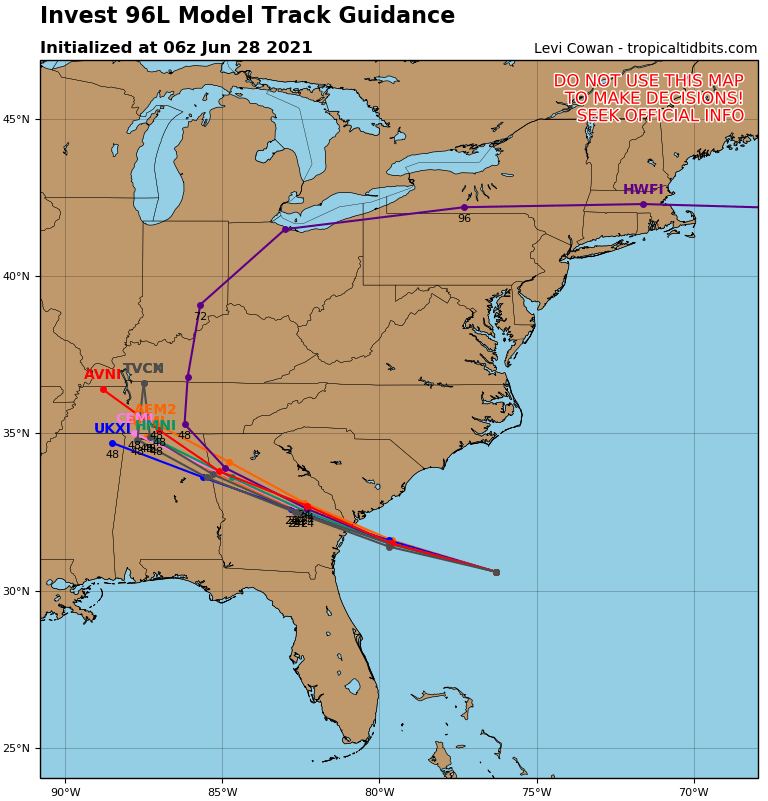
Planes will be headed into area today. Below - location and possible track.

Below - animated maps for the next 2 days followed by rainfall into Tuesday.


Below - satellite + radar - showing intense storm in New England ....followed by snapshot weather for your Friday. Be safe.


Below – snapshot weather for Friday. Be safe. Your Robin Hood Radio Tri-State Forecast TODAY: INCREASING CLOUDS, RAIN DURING THE AFTERNOON – 55-60 TONIGHT:...

Your Robin Hood Radio Tri-State Forecast TDY – SUN AND CLOUDS, FLURRIES – BRISK – 40-45 TNTE – CLEAR- MID 20S SAT – PARTLY...

Your Robin Hood Radio Tri-State Forecast With Jamie Simpson Monday September 13, 2021 TODAY – BECOMING MOSTLY SUNNY – NEAR 80 TONIGHT – CHANCE...