
YOUR FORECAST:
TDY: CLOUDY…SOME SUN – 50-55
TNTE: CLOUDY- 30-35
WED: PERIODS OF RAIN – 40-45
THURS: SHOWERS END – MID 50S
FRI: CLOUDY- SHOWERS – 50-55
WEATHER TRIVIA:1912 – KANSAS CITY, KS. RECEIVES 25” OF SNOW IN 24 HOURS.

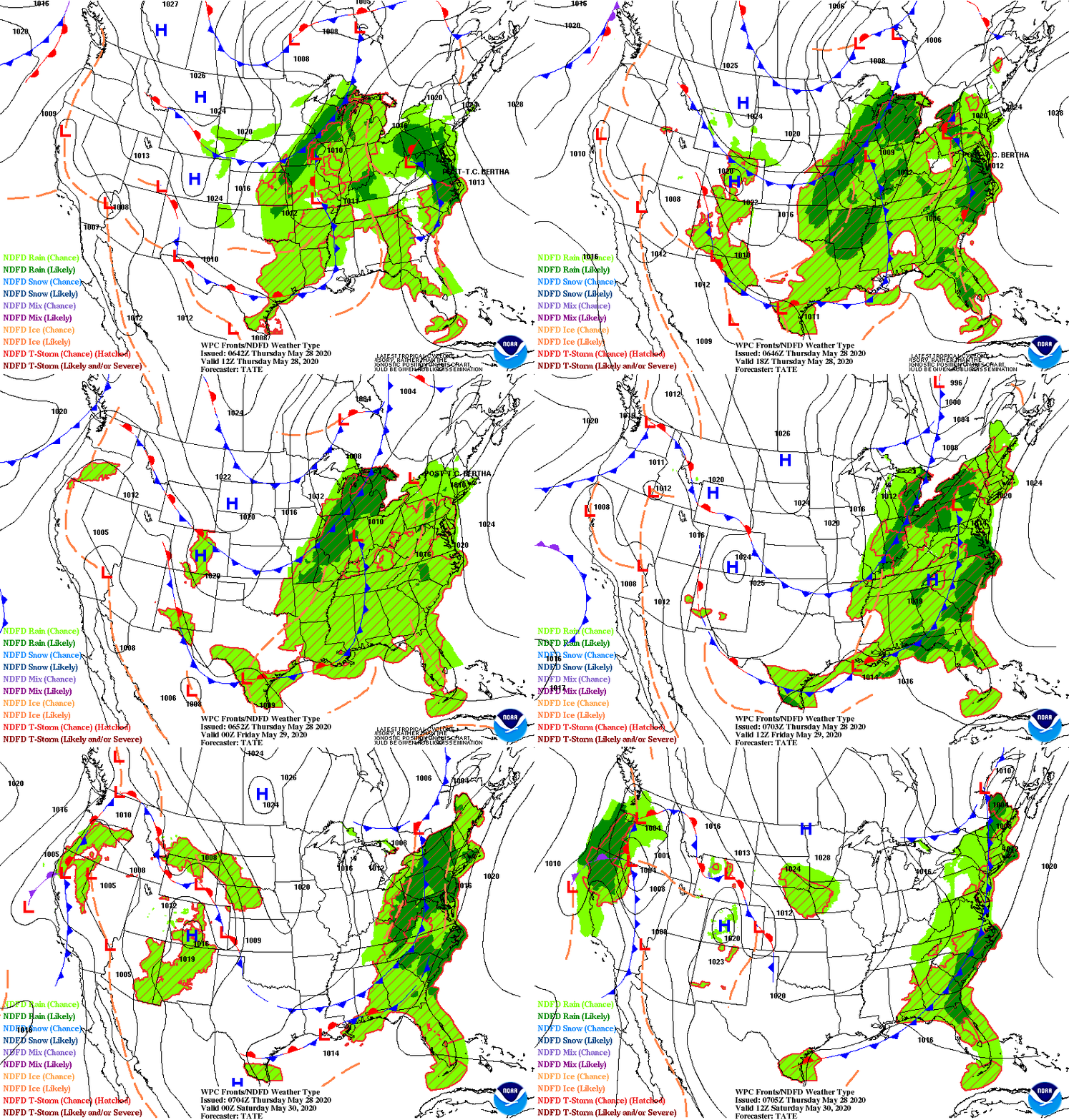
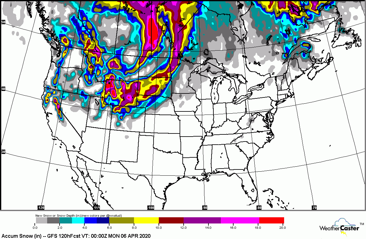
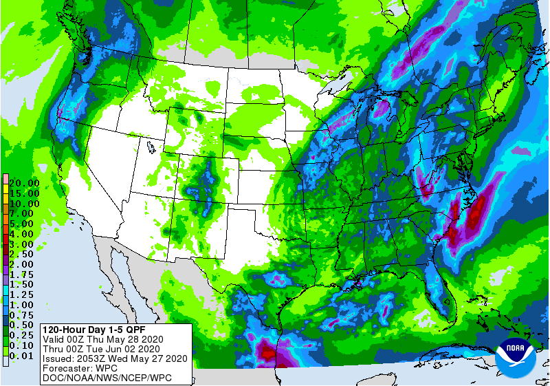
Satellite picture above shows one storm off New England...another in Central Plains. That system raises severe threat in South today...then some rain for Mid Atlantic Wednesday. Front in Rockies brings some showers to East Friday. Below - animated maps for next 2 days - projections for snow and rain through Sunday.


Below- today's severe weather threat in dark green and yellow.

Lastly...snapshot weather for your Wednesday. Remember...only way to stop this virus...stay in and away from people.


CURRENT ADVISORIES- WINTER WEATHER ADVISORY UNTIL 7AM TUESDAY- CT ICE STORM WARNING FOR BERKSHIRES UNTIL 7AM TUESDAY YOUR FORECAST: TODAY: WINDY AND RAW WITH...

WEATHERCAST: OUR WEATHER PATTERN IS MORE SYMBOLIC OF EARLY MARCH …SO TRY TO THINK OF IT AS THAT. NOW…WE CAN SET THE STAGE FOR...

Your Robin Hood Radio Tri-State Forecast TODAY – SHOWERS AND A THUNDERSTORM – 65-70 TONIGHT – SHOWERS, A THUNDERSTORM – 55-60 FRIDAY – SHOWERS...