
YOUR FORECAST:
TDY: SUNNY TO PARTLY CLOUDY- LOWER 60S
TNTE: CLEAR- CHILLY- 35-40
WED: CLOUDY- MAYBE A SHOWER……55-60
THURS: CLOUDS, SOME SHOWERS – LOWER 60S
FRI: PARTLY CLOUDY- BRISK - 60
WEATHER TRIVIA:1951 – RELATIVE HUMIDITY DROPS TO 8% AT BOSTON, MASS

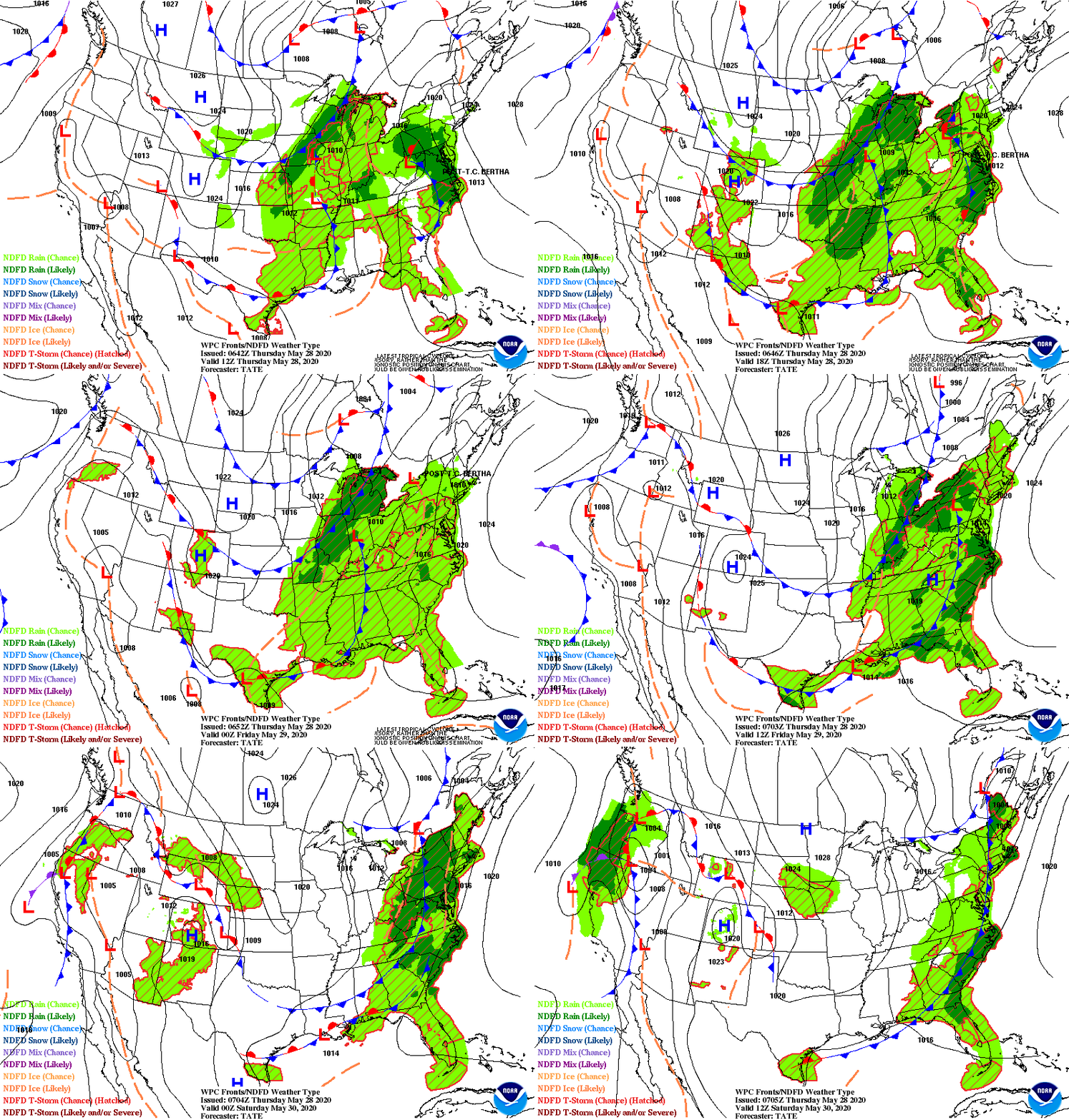
Above - weather map for this Saturday: notice the blue and purple in Northeast...that's snow. Also add wind and temps mainly in 40s. Below satellite + radar.

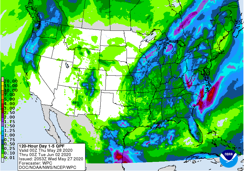
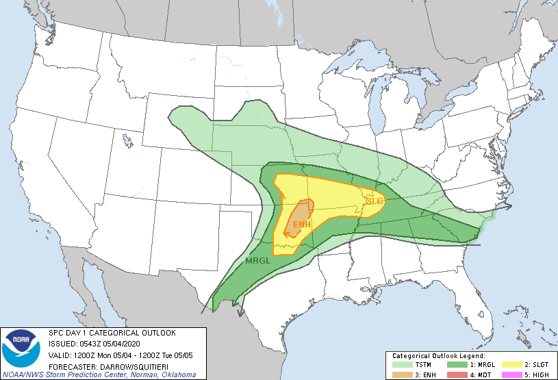
Above...storm moving through Ohio Valley - may bring severe storms to Central Appalachians and rain from So. New England to Mid Atlantic Wednesday. System in Northern Rockies will bring the cold snap late week and weekend to Northeast. Below - animated maps....rainfall through Saturday...and severe weather for today.


Below - high temperatures for Saturday - latest pollen report and snapshot weather for Wednesday. Please remain safe.


Your Robin Hood Radio Tri-State Forecast TODAY: SUN AND CLOUDS – 75-80 TONIGHT: CLEAR- 50-55 WED: MAINLY SUNNY AND WARM – MID 80S THURS:...

Your Robin Hood Radio Tri-State Forecast TODAY – SUNNY – BREEZY – MID 70S TONIGHT – CLOUDY- SHOWERS LATE – MID 50S THURSDAY –CLOUDY,...

Stormy West – Quiet East A couple of storms will move into the Pacific Northwest through end of week. They will bring more high...