
TDY:PARTLY CLOUDY- MID UPPER 70S
TNTE:CLOUDY- MID 50S
FRI: A SHOWER OTHERWISE SOME SUN – MID 60S
SAT & SUN: SUNNY- BREEZY- MID 60S
WEATHER TRIVIA:1965- GREATEST SEPTEMBER SNOW IN WYOMING ROCKIES – 20” LANDER, WY.

Satellite + radar above shows that with the exception of the rain from Sally over The Southeast....most of the Nation - dry and staying that way into next week.
Below - current Atlantic map....track of Sally and Teddy.


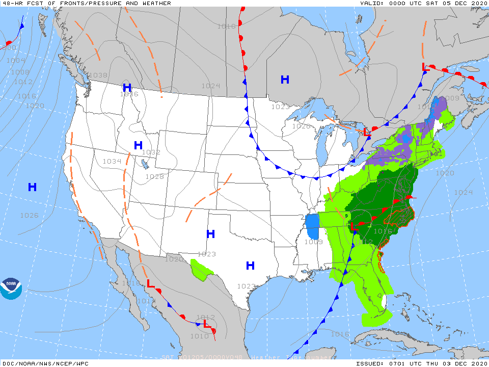
Below - rainfall through Tuesday......snapshot weather for Friday.
Be safe. Check out my blog on www.walkradio.com.


WEATHERCAST: A LARGE STORM EXTENDS FROM THE GREAT LAKES TO THE NORTHEAST AND WILL PUSH NORTH TODAY, SO RAIN AND WIND EASES FROM SOUTH...
Your Robin Hood Radio Tri-State Forecast TODAY: PARTLY CLOUDY- HUMID – CHANCE OF A THUNDERSTORM – 85-90 TNTE: PARTLY CLOUDY- MID 60S THURS: CLOUDY,...

Your Robin Hood Radio Tri-State Forecast TODAY – SUN… CLOUDS – LOWER 80S TONIGHT – PARTLY CLOUDY – LOWS 55-60 THURSDAY – PARTLY SUNNY...