
TDY: SUNNY – NOT AS HUMID – 75-80
TNTE: CLEAR TO PARTLY CLOUDY – 55-60
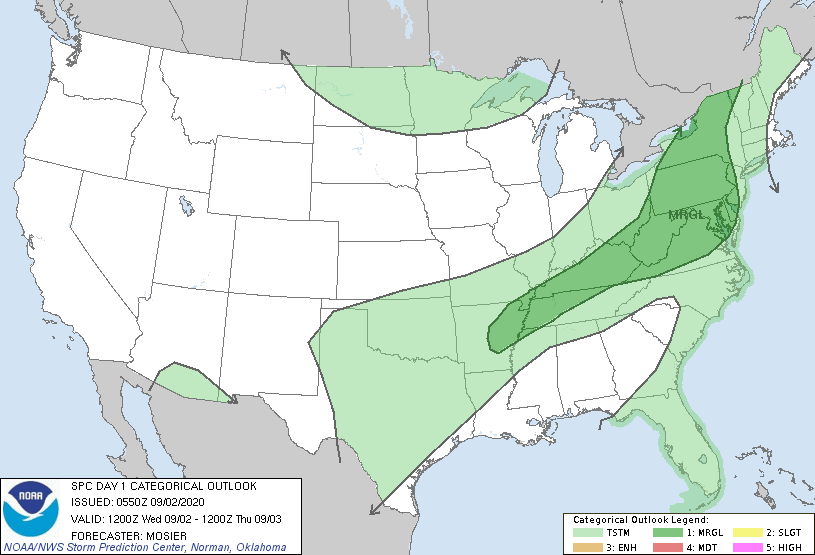
THURS:SUN AND CLOUDS AND TURNING MORE HUMID, CHANCE OF LOCALLY
SEVERE THUNDERSTORMS. – 75-80
FRI: HAZY – HUMID – SHOWERS AND STORMS - MID 80S
SAT: CLOUDY- SHOWERS AND THUNDERSTORMS – 75-80
WEATHER TRIVIA:
1949 – HURRICANE HITS DELRAY BEACH FLORIDA WITH 153 MPH WINDS.

Above- satellite picture showing Laura to have intensified overnight...packing winds of 105 to 110 mph winds and should be even stronger as the day wears on. This is a very dangerous storm for NW Gulf Coast and storm surges will be life threatening. Below - hurricane center track.....track of models.


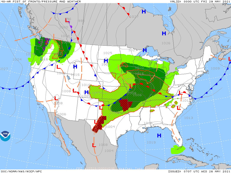
Satellite + radar above shows Laura in central Gulf. Storms over the Great Lakes could become severe there today. More storms in Rockies.
Below - animated maps for the next 2 days......today's severe weather....and rainfall through Sunday.


Below - snapshot weather for Thursday. Be safe.

YOUR FORECAST: TDY: PARTLY SUNNY & COLD – 30 TNTE: PARTLY CLOUDY AND QUITE COLD = 15 TO 20 WED: PARTLY SUNNY – WINDY...
Tuesday: A chance of rain. Cloudy, with a high near 47. Northeast wind 3 to 5 mph. Chance of precipitation is 50%. New precipitation...

Your Robin Hood Radio Tri-State Forecast TODAY – PARTLY CLOUDY- 75-80 TONIGHT – CLOUDY- SOME RAIN POSSIBLE – 60 THURSDAY – SOME SUN- CHANCE...