
TDY: EARLY RAIN THEN PARTLY CLOUDY-MID 50S
TNTE: PARTLY CLOUDY- MID 40S
THURS: RAIN DEVELOPING BECOMING HEAVY AT TIMES -50
FRI: WINDY WITH RAIN TAPERING OFF..POSSIBLY ENDING AS WET SNOW 40 AND FALLING
SAT:SUNNY- LOWER 50S.
WEATHER TRIVIA: 1971- SEVERE BLIZZARD OVER THE PLAINS AND ROCKIES: 27”@LANDER, WY., RECORD COLD OF -15F AT BIG PINEY, WY.
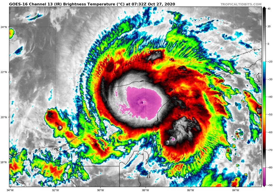
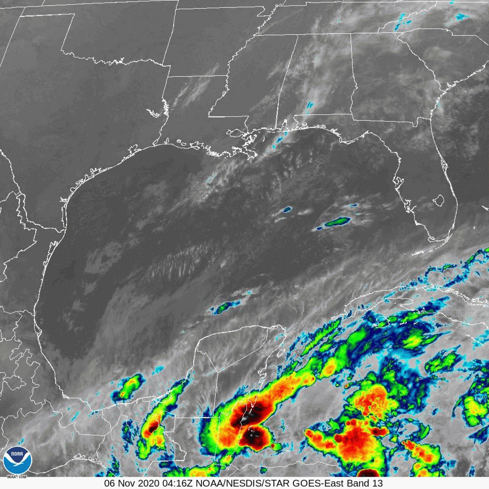
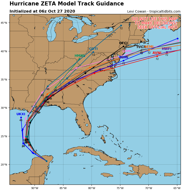
Hurricane Zeta with 75 mph winds is over the Yucatan and will head across the Gulf of Mexico making landfall close to New Orleans Wednesday night. This will be the 7th threat to New Orleans this season. After that - it will merge with a storm from the southwest and move off the New Jersey Coast Friday. Wind and rain all the way to the coast and then a mix or change to wet snow possible later Friday for Northeast. Below..
satellite picture....hurricane center track...tracks by the models.


This Hazardous Weather Outlook is for northwestern Connecticut, western Massachusetts, east central New York .DAY ONE…Today and tonight. A widespread soaking rainfall of two...
YOUR FORECAST: TDY: SUNNY AND CLOUDS, PLEASANT – MID 70S TNTE: CLOUDY WITH SHOWERS – MID 50S THURS: MOSTLY CLOUDY- SHOWERS, CHANCE OF A...

Your Robin Hood Radio Tri-State Forecast TDY: SUNNY- LOWER 40S TNTE: CLEAR – 20-25 FRI: SUNNY- 40 SAT: MAINLY SUNNY- MID 30S SUN: SUNNY-...