
CURRENT ADVISORIES : HEAT ADVISORY THROUGH TUESDAY
YOUR FORECAST:
TODAY: HAZY – HOT – HUMID – LOWER 90S
TNTE: CLEAR – 70-75
WEDNESDAY: PARTLY CLOUDY- HUMID – CHANCE OF A THUNDERSTORM – 85-90
THURS: CLOUDY, HUMID, SHOWERS AND THUNDERSTORMS – LOWER 80S
FRI: CLOUDY- HUMID – SHOWERS AND STORMS – LOWER 80S
WEATHER TRIVIA:1944- ALL TIME HIGH IN BURLINGTON, VERMONT OF 101!

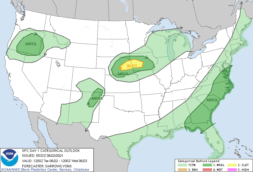
Above...satellite + radar shows storms over the Great Lakes...Ohio Valley...Southern Plains...Southeast, quite typical of August. Below - animated maps for the next 2 days - today's severe threat - rainfall through Saturday.


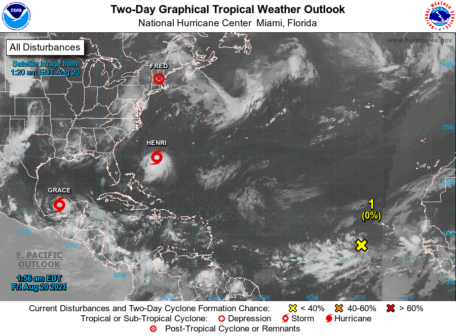
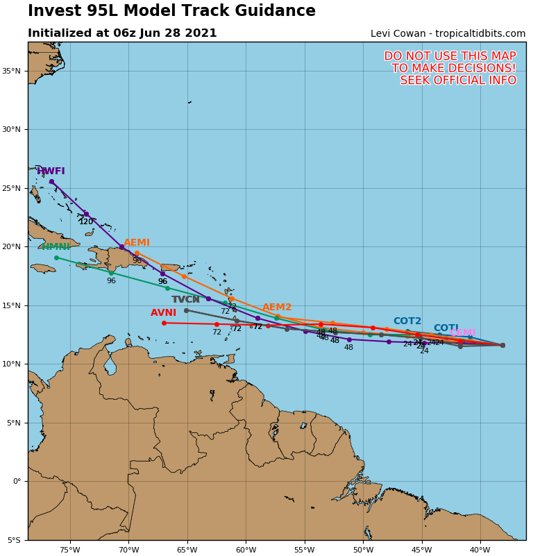
Below - satellite from tropical Atlantic showing next disturbance......plus tracks by computer models.
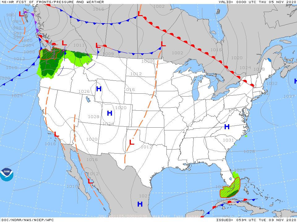
Below - snapshot weather for Wednesday.....please be safe.

WEATHER TRIVIA: 1957 – ALL TIME RECORD LOW FOR BURLINGTON, VT AT 30 BELOW….BOSTON 12 BELOW YOUR FORECAST: TDY: SUNNY TO PARTLY CLOUDY –...
YOUR FORECAST: TDY: SUNNY-– MID 80S TNTE: CLEAR- 60-65 SAT & SUN: SUNNY TO PARTLY CLOUDY – 85-90 MON: HAZY- MORE HUMID – CHANCE...
WEATHERCAST: The tropical conveyor belt will continue to deliver more of what we had last week: humidity…showers and thunderstorms. There will be times when...