
YOUR FORECAST:
TDY: PARTLY CLOUDY- HUMID – CHANCE OF A THUNDERSTORM – 90
TNTE: A SCATTERED THUNDERSTORM – OTHERWISE PARTLY CLOUDY- MID 60S
WED: SUNNY AND LESS HUMID – 90
THURS:PARTLY SUNNY- REASONABLY WARM AND DRY – MID 80S
FRI: A MIX OF SUN AND CLOUDS – MID 80S
WEATHER TRIVIA:1978- FIRST OF 17 STRAIGHT DAYS WITH SOME RAIN IN PHILADELPHIA, PA.
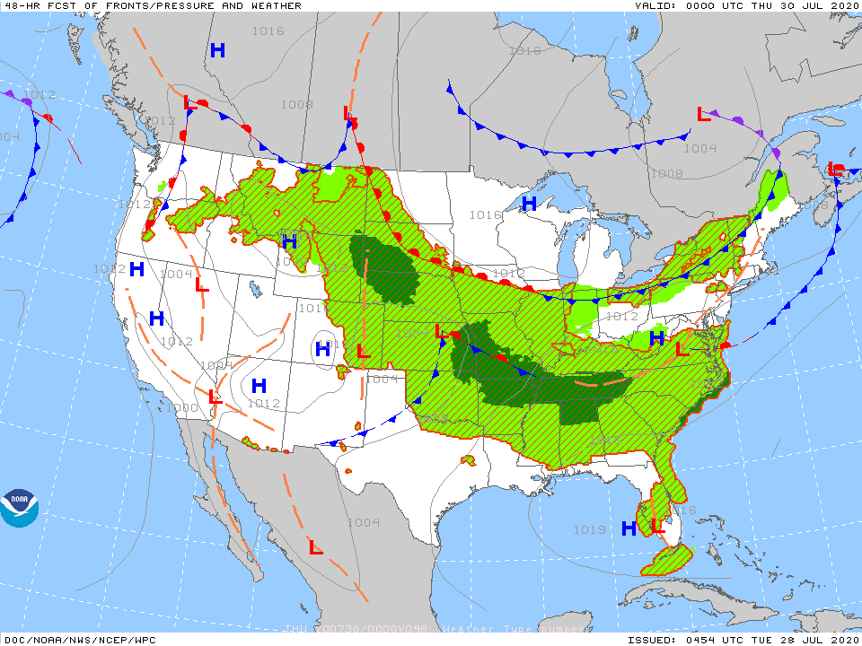
Satellite = radar above show a front from Gt. Lakes to Texas. Only cooler air behind front in Upper Midwest....otherwise it is less humid but still above average temps. Below - tropical Atlantic shows a disturbance in So. Atlantic likely to become Isaias. Tracks of computer models posted.

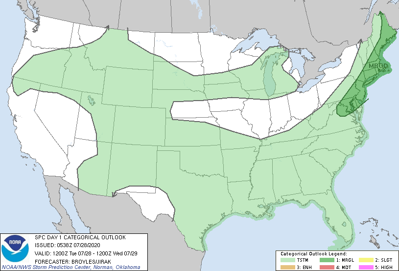
Below - animated maps - today's severe threat - rainfall through Saturday


Below - snapshot weather for Wednesday. BE safe.

YOUR FORECAST: TDY: PARTLY SUNNY – BREEZY – LOWER 50S TNTE: CLOUDY- 30-35 WED: SUNNY- LOWER 60S THURS: SUN MIXING WITH CLOUDS – 55-60...
YOUR FORECAST: TDY: PARTLY SUNNY- A SCATTERED SHOWER OR THUNDERSHOWERHIGHS – MID 80S TNTE: CLEAR- 60-65 FRI: SUN AND CLOUDS, LESS HUMID – LOW...
Today A slight chance of showers after 2pm. Mostly cloudy, with a high near 71. Calm wind becoming southwest 5 to 8 mph in...