
TDY: HAZY – HOT – HUMID – MID 90S
TNTE: PARTLY CLOUDY- LOWER 70S
TUES: PARTLY CLOUDY- HUMID – CHANCE OF A THUNDERSTORM – 90
WED: SUNNY AND LESS HUMID – 90
THURS:PARTLY SUNNY- REASONABLY WARM AND DRY – MID 80S
WEATHER TRIVIA:1969 – TORNADOES AND FLOODS IN NORTHEAST CLIMAXES 2 WEEKS OF STEADY RAIN.

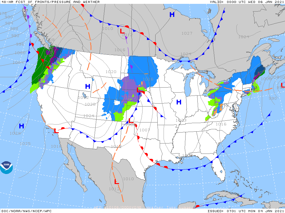
Satellite + radar shows sunny - hot - humid for The East. Cold front from
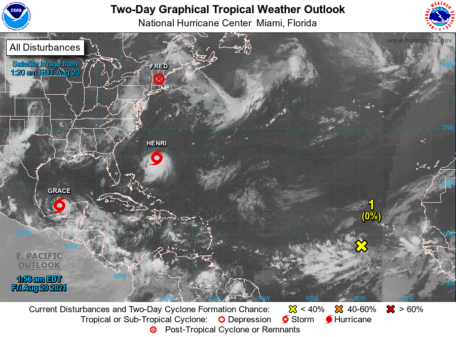
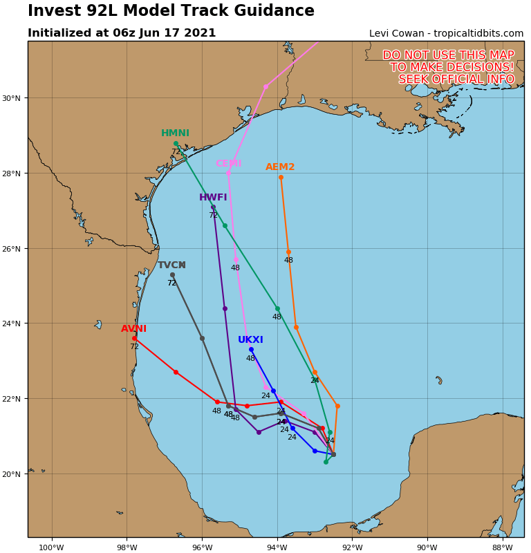
Great Lakes to So. Plains producing thunderstorms. That front moves by Northeast Wednesday . Remains of Hanna is Mexico. New system in So. Atlantic will become Isaisis by Tuesday. Below - Current satellite from Atlantic + storm track for next tropical storm.
Below - animated maps next 2 days - severe map for today - rainfall through Friday.


Below- snapshot weather for Tuesday. BE SAFE - Stick to the rules.

YOUR FORECAST: TDY: PARTLY SUNNY – 75-80 TNTE: EARLY SHOWER OTHERWISE CLEAR – 45-50 FRI: SUNNY – MID 70S SAT: PARTLY CLOUDY- A LATE...
YOUR FORECAST: TDY: PARTLY SUNNY – MORE HUMID – CHANCE OF A SHOWER – MID 80S TNTE: CLOUDY- SHOWERS – THUNDERSTORMS - 70 THUR:...

Your Robin Hood Radio Tri-State Forecast CURRENT ADVISORIES - BERKSHIRES – WINTER STORM WATCH SATURDAY AFTERNOON TO SUNDAY A.M. TDY: TURNING CLOUDY, SOME RAIN...