

YOUR FORECAST:
TDY: PARTLY SUNNY – MID 80S
TNTE:PARTLY CLOUDY – MID 60S
SAT: CLOUDS – MORE HUMID –SHOWERS – GUSTY THUNDERSTORMS - MID 80S
SUN:PARTLY CLOUDY- HUMID- CHANCE OF THUNDERSTORMS – 85-90
MON:PARTLY SUNNY AND LESS HUMID – MID 80S
WEATHER TRIVIA:1952- EASTERN HEATWAVE ENDS AS TEMP. IN TIMES SQUARE,N.Y.C. HITS 142 IN THE SUN.

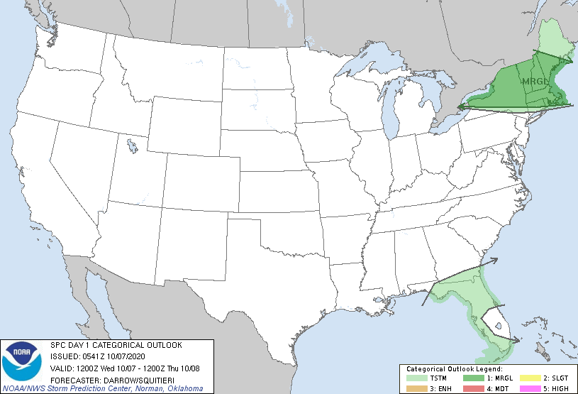
Above- satellite + radar shows showers moving across Northeast....not much to speak about. Showers and storms along the Gulf Coast...and spotty elsewhere. Very warm to hot across the Nation. Below - animated maps + today's risk of severe weather + rainfall through Sunday.


Below - snapshot weather for Thursday.
BE S A F E !!!!!


Your Robin Hood Radio Tri-State Forecast TDY: SUNNY- 45-50 TNTE: PARTLY CLOUDY- MID 30S SAT: CLOUDY- MILD – SHOWERS DEVELOPING – 45-50 SUN: CLOUDS,...

Record Cold Heads For The Northeast….. 11/9/2017 0 Comments Olf front in Southeast causing rain. Arctic cold front – from Great Lakes to Rockies...
Your Robin Hood Radio Tri-State Forecast YOUR FORECAST: TDY: SUN AND CLOUDS – MID 80S TNTE: PARTLY CLOUDY – 60-65 SAT: PARTLY SUNNY –...