

YOUR FORECAST:
TDY: CLOUDY- HUMID – SHOWERS,CHANCE OF THUNDERSTORMS – MID 80S
TNTE:SHOWERS AND STORMS END – MID 60S
SAT:CLOUDY- A SHOWER OR THUNDERSTORM – OTHERWISE PARTLY SUNNY – MID80S
SUN & MON: MOSTLY SUNNY AND BREEZY – MID 70S
WEATHER TRIVIA:1858 – GREAT JUNE FROST FROM IOWA TO NEW ENGLAND: 25F IN NEW YORKSTATE, 2” SNOW IN OHIO – WHEAT DAMAGED

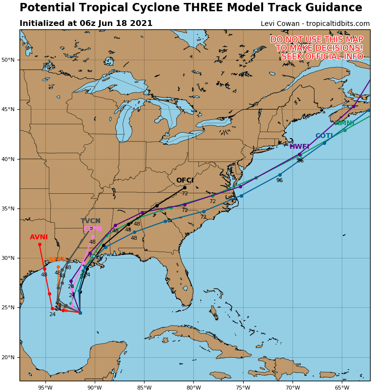

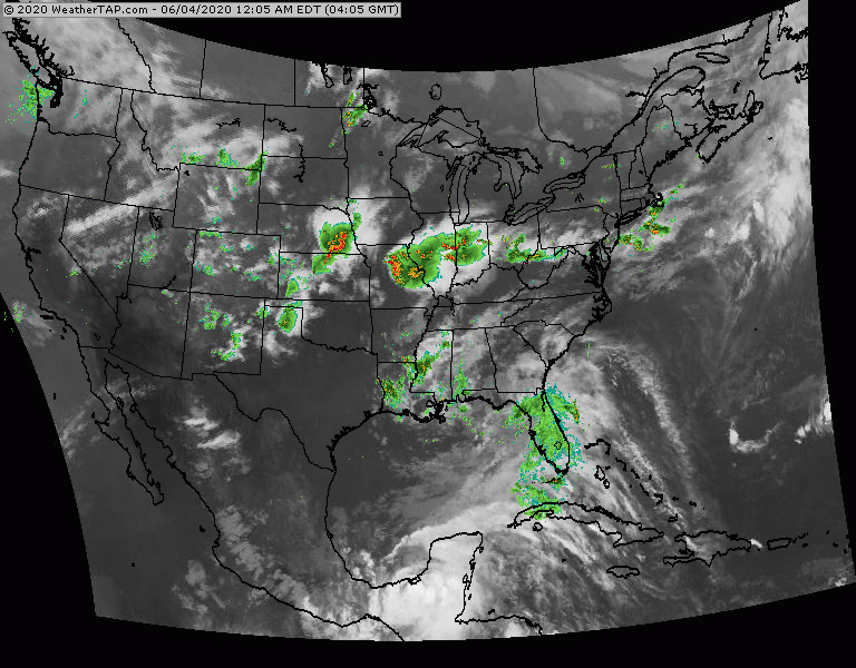
Above....track forecast by Hurricane Center. Center - tracks expected by models...most of which are in very good agreement that it will be Louisiana. On right - amounts of rainfall through Monday. Timing for the tropical storm in Sunday into Monday and flooding appears to be a big issue as well as a storm surge. Below - satellite picture. Storms in Ohio Valley will head east and could be severe for Mid Atlantic today
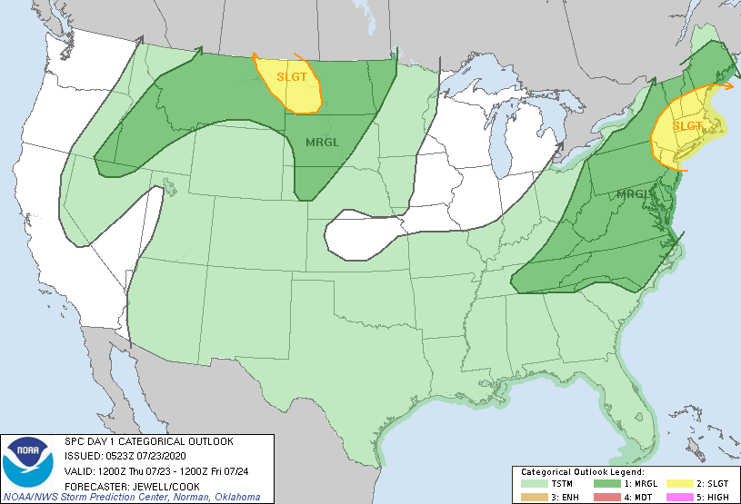
Below - today's risk of severe weather - dark green and yellow - animated maps for next 2 days.


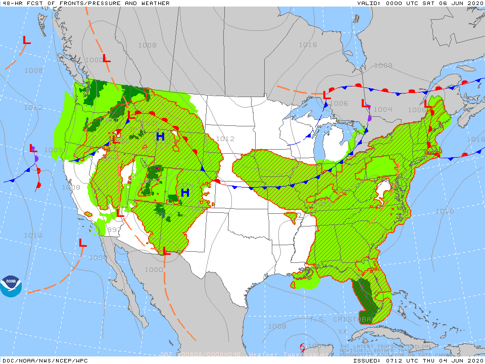
Below- snapshot weather for Friday.
STAY SAFE !!!!

YOUR FORECAST: TDY: CLOUDS AND MILD WITH SHOWERS DEVELOPING – MID 50S – THEN CLEARING AND COLDER. TNTE: CLEAR AND COLD – MID 20S...

Your Robin Hood Radio Tri-State Forecast TDY: BECOMING PARTLY TO MOSTLY SUNNY AND WINDY – 40 TNTE: CLEAR AND COLD – 15 TO 20...

URGENT - WINTER WEATHER MESSAGE National Weather Service Albany NY 333 AM EST Wed Feb 23 2022 Northern Litchfield-Southern Litchfield-Northern Berkshire- Southern Berkshire-Western Greene-Eastern...