

YOUR FORECAST:
TDY: SUNNY AND NICE – 80
TNTE: CLEAR – MID 50S
TUES: SUNNY AND WARM – 80-85
WED: PARTLY SUNNY – 80-85
THUR: HAZY – SCATTERED SHOWERS AND THUNDERSTORMS – MID 80S
WEATHER TRIVIA:1966- TORNADO@TOPEKA-KANSAS: 17 DEAD - $100 MILLION IN DAMAGES

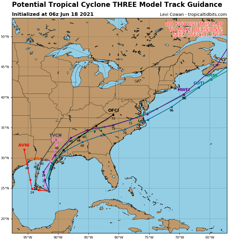

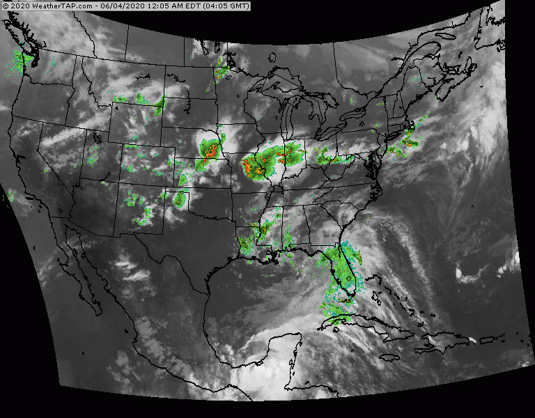
Above....track forecast by Hurricane Center. Center - tracks expected by models...most of which are in very good agreement that it will be Louisiana. On right - amounts of rainfall through Monday. Timing for the tropical storm in Sunday into Monday and flooding appears to be a big issue as well as a storm surge. Below - satellite picture. Storms in Ohio Valley will head east and could be severe for Mid Atlantic today
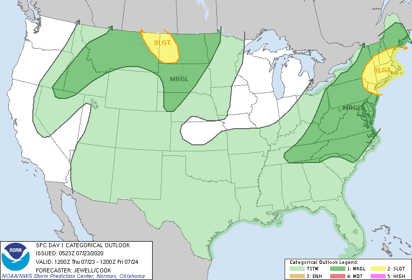
Below - today's risk of severe weather - dark green and yellow - animated maps for next 2 days.


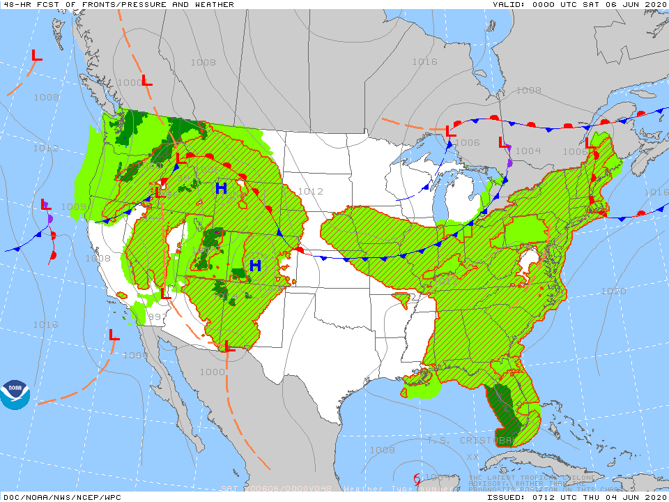
Below- snapshot weather for Friday.
STAY SAFE !!!!

Hello, Winter….. 12/21/2017 Northern jet stream bringing snow from Dakotas to Great Lakes and will bring several inches to New England Friday. System in...
YOUR FORECAST: TDY: CLOUDY- (ANY WINTRY ENDS)….. PERIODS OF RAIN – 40-45 TNTE: SOME RAIN OR SHOWERS – HOLDING IN 40S FRI: WINDY- WARM...

Your Robin Hood Radio Tri-State Forecast TDY: SUN WITH INCREASING CLOUDS – 45-50 TNTE: CLOUDY- RAIN LATE – LOWER 40S THANKSGIVING – PERIODS OF...