

YOUR FORECAST:
TDY: MOSTLY SUNNY AND WARM – 80-85
TNTE: PARTLY CLOUDY- LOWER 60S
WED: PARTLY SUNNY, GETTING MORE HUMID – 80-85
THUR: HAZY – SCATTERED SHOWERS AND THUNDERSTORMS – MID 80S
FRI: PARTLY SUNNY – MID 80S
WEATHER TRIVIA: 1953 – WORCESTER COUNTY, MA., TORNADO: 46 MILES LONG, $60 MILLION IN DAMAGES.

Above..satellite + radar clearly shows Cristobal moving across Missouri.
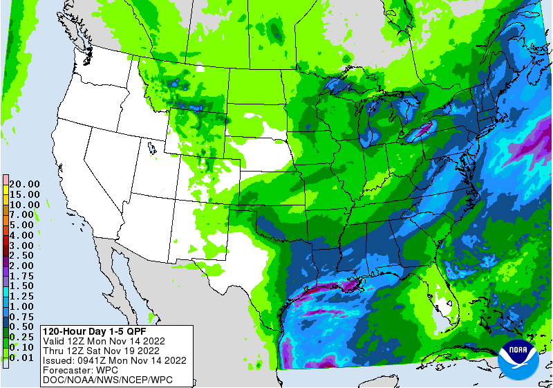
Showers and storms in Northern Plains. Showers in Pacific Northwest and the rest of the Nation - quiet. Wet - windy and much cooler from the Dakotas into Great Lakes on Wednesday. Below - track of ghost of Cristobal...severe threat today....rainfall through Saturday and animated maps for next 2 days.


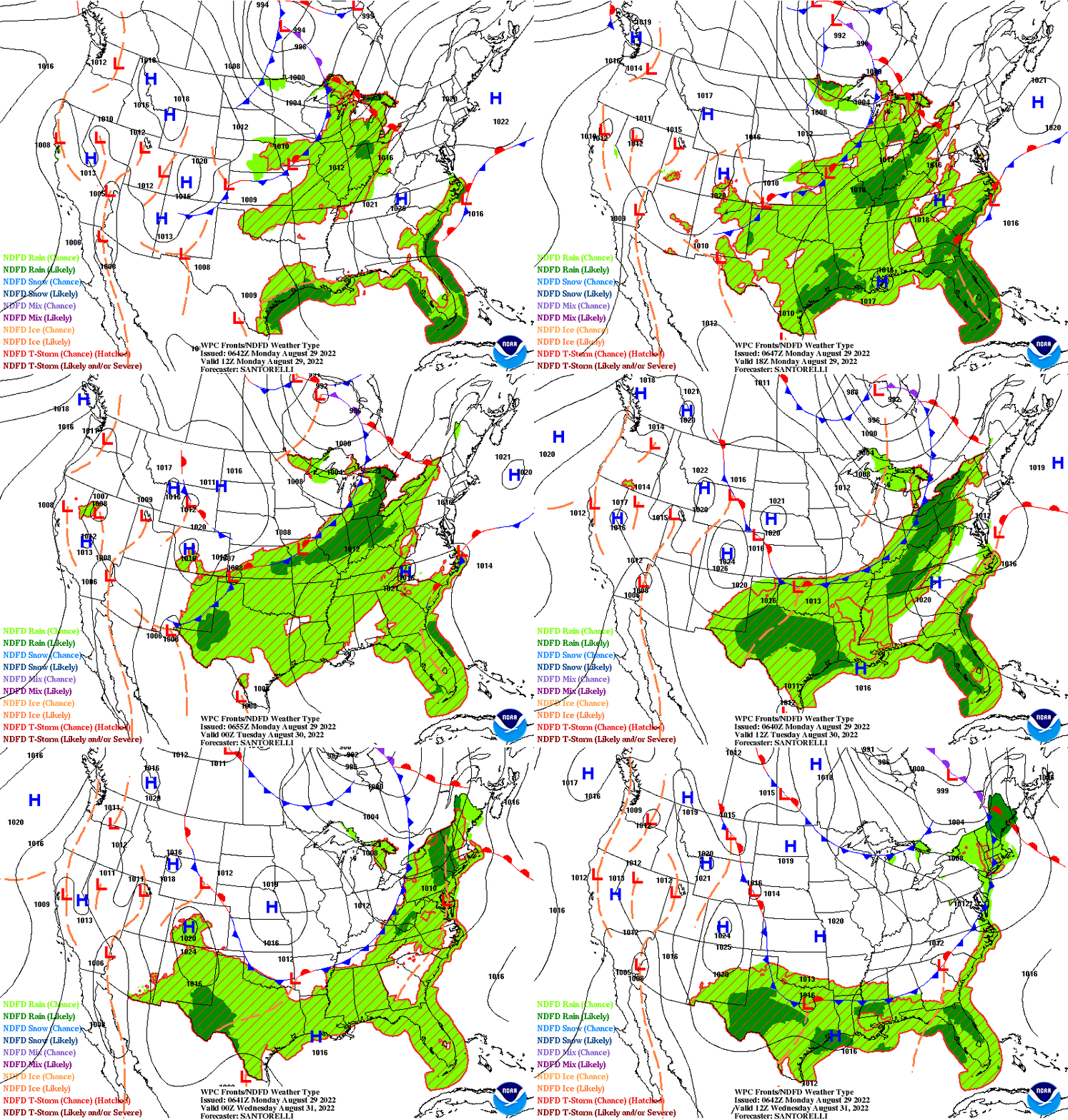
Below- snapshot weather for Wednesday. BE SAFE !!!!


Your Robin Hood Radio Tri-State Forecast TODAY: THUNDERSTORMS – LOWER 90S TONIGHT – PARTLY CLOUDY- 65-70 WEDNESDAY- SUNNY- 85-90 THURSDAY- HAZY – HOT –...

Your Robin Hood Radio Tri-State Forecast THURSDAY – CLOUDY- PERIODS OF RAIN DEVELOPING – 35-40 FRIDAY – A WINTY MIX CHANGES TO SNOW –...

Share this:TwitterFacebookEmailLike this:Like Loading...