

YOUR FORECAST:
TDY: CLOUDY- (ANY WINTRY ENDS)….. PERIODS OF RAIN – 40-45
TNTE: SOME RAIN OR SHOWERS – HOLDING IN 40S
FRI: WINDY- WARM – SHOWERS – 65-70
SAT: PARTLY SUNNY WITH A COLD WIND – MID 40S
SUN: SUNNY- 40-45
WEATHER TRIVIA:1958- EVE OF SPRING STORMS DROPS FROM 5” OF SNOW IN THE SOUTHEAST TO UP TO 40” IN MAINE
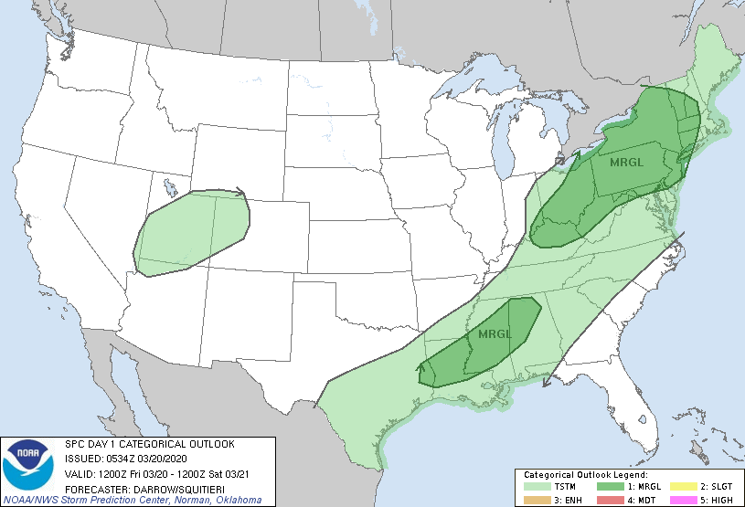
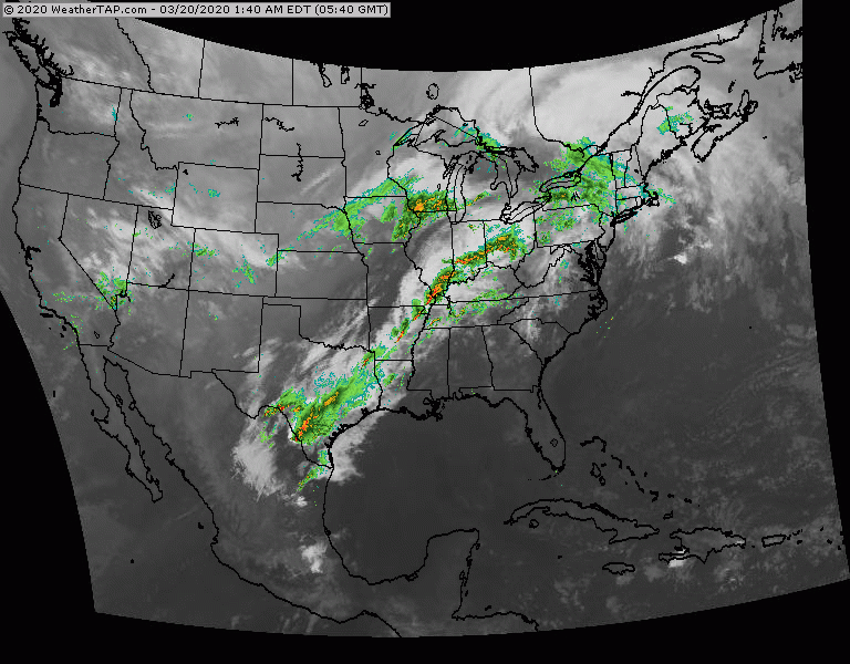
Above - dark green areas show where there is a marginal risk of some severe thunderstorms today....most of which in the Northeast. Below - satellite + radar showing showers and storms from The Northeast to Texas with the cold front that will bring noticeably colder weather this weekend.
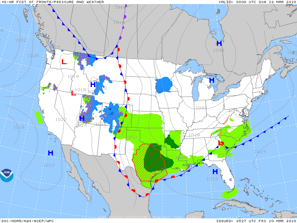
Below - animated maps through Saturday...then snowfall and rain projections through next Tuesday.


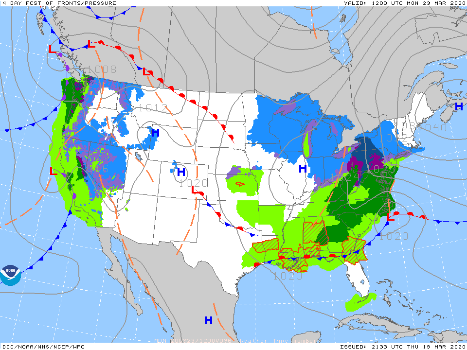
A storm off the Carolinas next Monday could bring wet snow to the Northeast. Looks like best chance would be across New England...but will have to be watched. Below- what we think weather map will look like for Monday.
Lastly - snapshot weather for Saturday. Please remember to stay at home and do not mingle with others and be safe.

ADVISORIES: FLOOD WATCH TONIGHT WEATHER TRIVIA: 1913 – FAMOUS GREAT LAKES STORM “FRESHWATER FURY” – SINKS 8 ORE CARRIERS ON HURON WITH 200 LIVES...

Your Robin Hood Radio Tri-State Forecast CURRENT ADVISORIES: HEAT ADVISORY THRU WEDNESDAY HERE IS YOUR ROBIN HOOD RADIO TRI STATE FORECAST TODAY SOME SUN-...
Stormy West – Quiet East 11/14/2017 0 Comments A couple of storms will move into the Pacific Northwest through end of week. They will...