
YOUR FORECAST:
TDY: CLOUDY- (ANY WINTRY ENDS)….. PERIODS OF RAIN – 40-45
TNTE: SOME RAIN OR SHOWERS – HOLDING IN 40S
FRI: WINDY- WARM – SHOWERS – 65-70
SAT: PARTLY SUNNY WITH A COLD WIND – MID 40S
SUN: SUNNY- 40-45
WEATHER TRIVIA:1958- EVE OF SPRING STORMS DROPS FROM 5” OF SNOW IN THE SOUTHEAST TO UP TO 40” IN MAINE

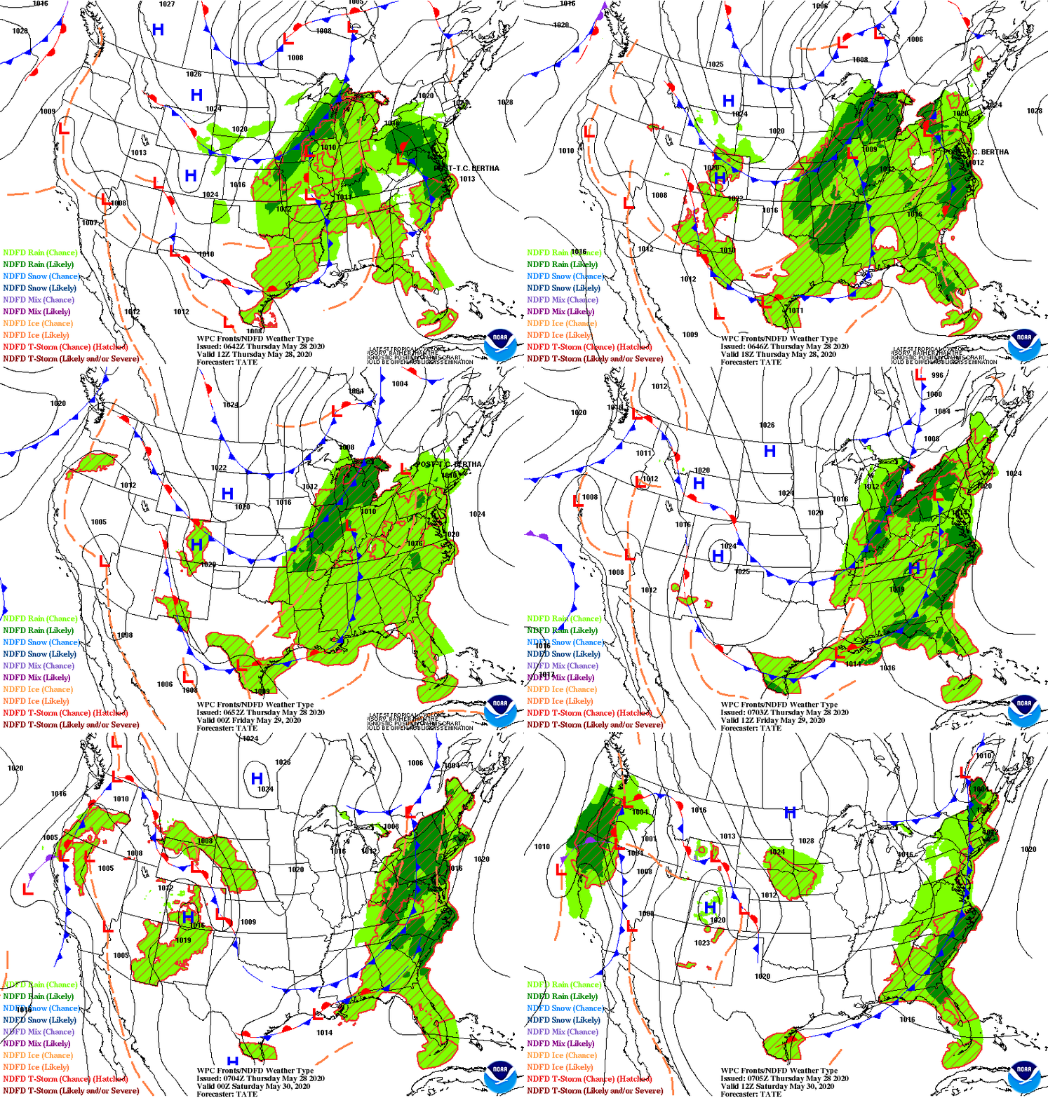
Above-radar/satellite showing rain over Northeast moving offshore this afternoon. Showers and storms...some severe in So. Plains will move across the East Friday. Colder weather moves into the West and then makes it to East Coast this weekend. Below- today's threat of severe weather...from dark green to orange.

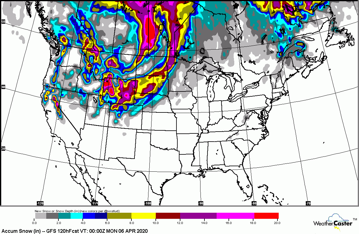
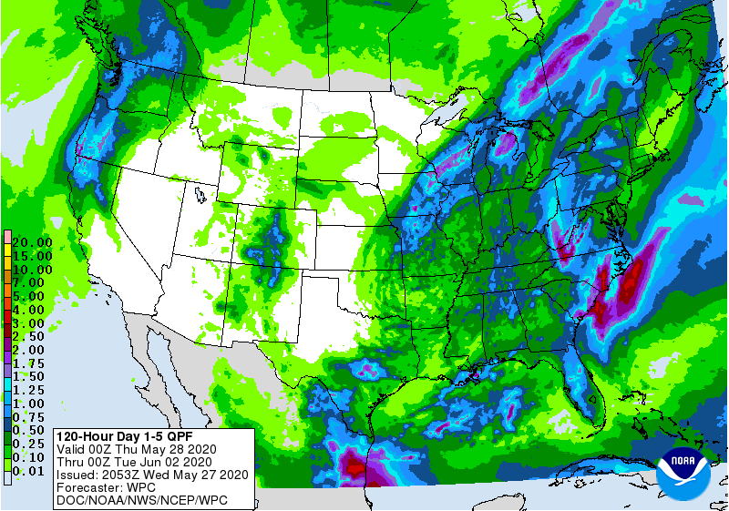
Below - animated maps through Friday - snowfall and rain projections through Monday. On snowfall map - notice the shading across the Northeast. There could be a coastal storm that may bring a spring snow to Northeast early next week....stay tuned.


Below - snapshot weather for your Friday. Remember - be safe..and please...stay at home until this crisis calms down.


This Hazardous Weather Outlook is for northwestern Connecticut, western Massachusetts, east central New York .DAY ONE…Today and tonight. A widespread soaking rainfall of two...

Your Robin Hood Radio Tri-State Forecast TDY – MOSTLY CLOUDY- LATE SHOWERS – 50-55 TNTE – PERIODS OF RAIN - 40 THURS – CLOUDY-...

Your Robin Hood Radio Tri-State Forecast TODAY– MOSTLY SUNNY AND BREEZY – 60 TONIGHT – CLOUDY- 40 TUESDAY – VARIABLY CLOUDY- LATE SHOWERS –...