
YOUR FORECAST:
TDY: CLOUDY- BREEZY- SHOWERS – 45-50
TNTE: CLOUDY- A SCATTERED SHOWER – UPPER 30S
TUES: VARIABLY CLOUDY– 55-60
WED: SOME SUN – LATE SHOWERS – LOWER 50S
THURS: WINDY WITH SHOWERS AND A THUNDERSTORM – LOWER 60S
WEATHER TRIVIA:1942- DESTRUCTIVE TORNADO – OKLAHOMA: 52 KILLED, OVER 2 MIL IN DAMAGES.

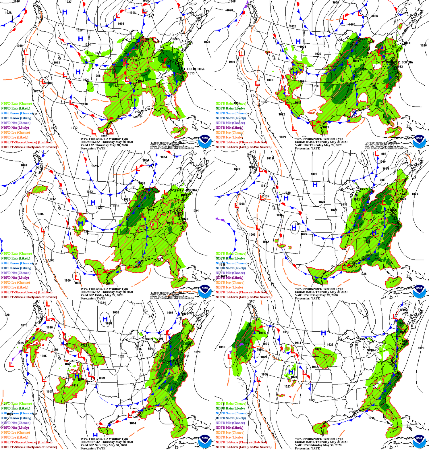
A storm off New England will bring showers to Northeast...cool temperatures and wet snow for higher elevations where 2"-4" possible.Next system in Plains will become major producer for severe weather Tuesday through Thursday when it reaches the East Coast. Early summer heat for California and Southwest. Below - animated maps for next 2 days...severe weather outlook in dark green for today - and latest pollen map.


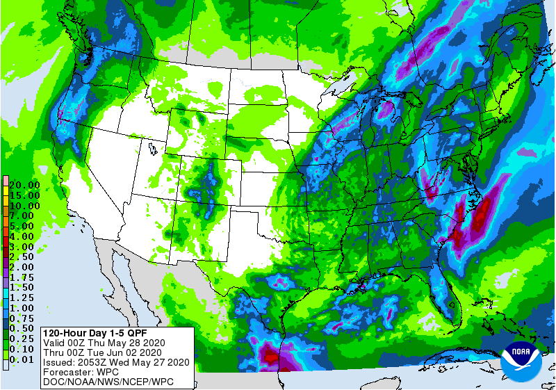
Below.....rainfall projections through Friday....snapshot weather for Tuesday.
Be safe...We Must Practice All Rules until this virus is gone.


YOUR FORECAST: TDY: CLOUDY-SHOWERS – MID 50S TNTE: CLOUDY- SCATTERED SHOWERS – 40 TUE: SCATTERED SHOWER OTHERWISE CLOUDY – MID 40S WED: MAINLY CLOUDY...

TDY – SUN AND CLOUDS – MID 70S TNTE – PARTLY CLOUDY- MID 50S THURS – PARTLY SUNNY – MID 70S FRI – PARTLY...

Your Robin Hood Radio Tri-State Forecast WED: HAZY – HUMID – SCATTERED SHOWERS AND GUSTY THUNDERSTORMS – 85-90 THURS: PARTLY SUNNY – LESS HUMID...