
YOUR FORECAST:
TDY: VARIABLY CLOUDY– 55-60
TNTE: PARTLY CLOUDY- 35-40
WED: SOME SUN – LATE SHOWERS – MID 50S
THURS: WINDY WITH SHOWERS AND A THUNDERSTORM – LOWER 60S
FRI: SHOWERS, WINDY – 60-65
WEATHER TRIVIA:1928- HEAVY LATE SEASON SNOWSTORM – CENTRAL APPALACHIANS: BAYARD,W.V. 35”---SOMERSET, PA – 31”----GRANTSVILLE, MD., - 30”

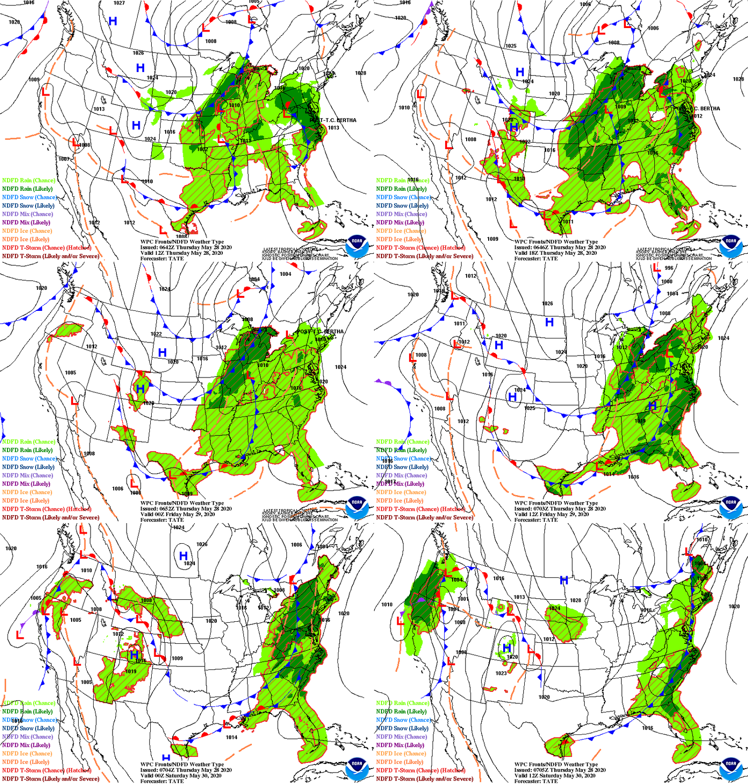
Above- today's threat of severe weather from dark green to red. Red has the most severe threat for Eastern Oklahoma. Below - satellite picture and radar already showing storms firing up in the South. This storm will head east and bring wind and rain and storms to the East Coast Thursday into Friday. A springlike weekend is in store for much of the Nation.

Below - animated maps for next 2 days....rainfall through Saturday....pollen map.


WEATHERCAST: AS HIGH PRESSURE SLIDES EAST FROM THE MIDWEST- PARTLY SUNNY SKIES TODAY BRING TEMPS INTO THE LOWER 80S…..THEN CLEAR IN THE 50S TONIGHT....

YOUR FORECAST: TDY: CLOUDY- SOME LIGHT RAIN A/O DRIZZLE – 55-60 TNTE: CLOUDY- SOME RAIN AND DRIZZLE – LOW 50S WED: CLOUDY- SHOWERS –...

YOUR FORECAST: TDY: PARTLY SUNNY – MID 80S TNTE:PARTLY CLOUDY – MID 60S SAT: CLOUDS – MORE HUMID –SHOWERS – GUSTY THUNDERSTORMS - MID...