
YOUR FORECAST:
TDY: SUN WITH INCREASING CLOUDS, LATE RAIN – LOWER 50S
TNTE: PERIODS OF RAIN – LOWER 40SFRI: WINDY AND RAINY – 45-50SAT: SOME SUN – LATE SHOWERS – 55-60
SUN: CLOUDY- PERIODS OF RAIN – 50-55
WEATHER TRIVIA:1885- DENVER, COLORADO SNOWSTORM – 23” IN 24 HRS, 32” AT IDAHOSPRINGS, CO.

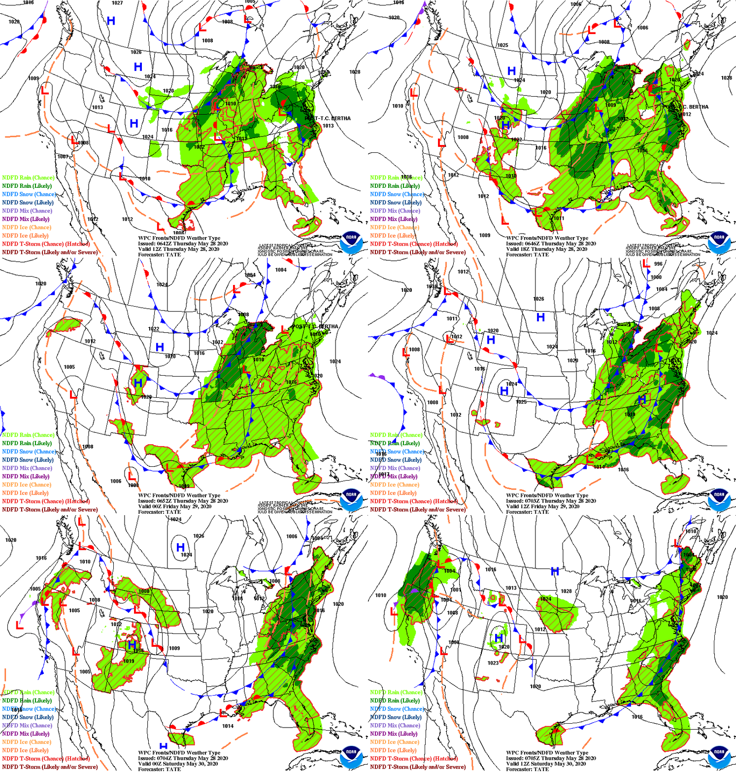
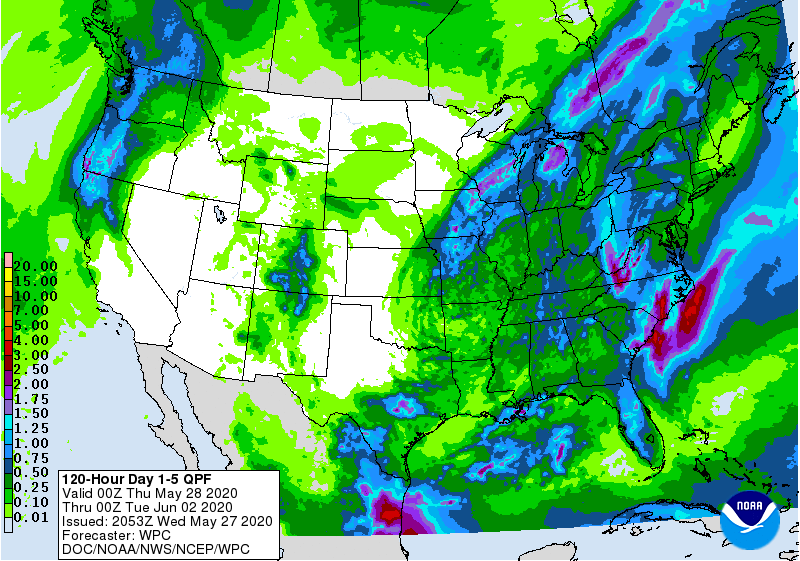
A significant spring storm centered in Missouri will move east-northeast. Severe weather possible today for the Southeast. Rain tonight & Friday up the East Coast. System in Northern Rockies will make it to East Coast on Sunday. Below - today's threat of severe weather in dark green..yellow and tan.

Below - animated maps through Friday + total rainfall through Monday.


We close with snapshot weather for your Friday. Please remember to exercise all rules if have to venture out...otherwise stay home and be safe.


Fall Weather Heading East 10/13/2017 0 Comments Satellite – radar shows a cold front over the Upper Midwest headed east. It will arrive along...

Your Robin Hood Radio Tri-State Forecast TDY: VARIABLY CLOUDY – 50 TNTE: PARTLY CLOUDY – 30 TUES: SUNNY TO PARTLY CLOUDY- WINDY- COLD –...

Your Robin Hood Radio Tri-State Forecast TODAY – SUNNY – 35-40 TONIGHT – CLEAR- 20 TUESDAY – SUNNY- HIGHS LOWER 40S WEDNESDAY – SUN...