

YOUR FORECAST:
TDY: SUNNY TO PARTLY CLOUDY WITH A CHILLY WIND – 50
TNTE: PARTLY CLOUDY- LOWER 30S
THURS: SUN WITH INCREASING CLOUDS, LATE RAIN – LOWER 50S
FRI: WINDY AND RAINY – MID 50S
SAT: SOME SUN – LATE SHOWERS – 55-60
WEATHER TRIVIA: 1883 – WIDESPREAD TORNADO OUTBREAK FROM KANASA TO NO. CAROLINA: OVER 200 PEOPLE DIED.

Above - actual early morning temperatures. Colder than normal for much of the Nation. Below...threat of severe weather for today....which highlights the lower Mississippi Valley.

Below - satellite + radar - animated maps - rainfall through Sunday.
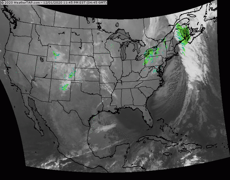
Satellite shows 2 systems in Plains which will merge and head east to affect the East Coast by Friday.


Finally...snapshot weather for Thursday. In spite of any restrictions being eased or lifted in some areas...everyone one must keep safe distancing and your mask is now your best friend.


WEATHERCAST: THE HOLIDAY WEEKEND IS OFF TO A GOOD START WITH SUN…LOW HUMIDITY AND TEMPS WELL INTO THE 80S TODAY…AND CLEAR AND DRY TONIGHT...

Your Robin Hood Radio Tri-State Forecast TODAY - SUNNY AND LESS HUMID – LOWER 80S TONIGHT – CLEAR AND COOL – MID 50S SATURDAY...
WEATHER TRIVIA:1975 – MINNESOTA’S STORM ON THE CENTURY – 2 FEET OF SNOW WITH WIND CHILLS 50 TO 80 BELOW ZERO YOUR FORECAST: TDY:...