

YOUR FORECAST:
TDY: SUNNY – MILD – MID 40S
TNTE: PARTLY CLOUDY- LOWER 20S
FRI: SUN THEN CLOUDS- 40-45
SAT: CLOUDY…RAIN DEVELOPING..COULD START AS A WINTRY MIX – 30S
SUN: CLOUDY- SOME RAIN AND/OR WET SNOWSHOWERS – 35-40
WEATHER TRIVIA:1857 – COLD FRIDAY IN NEW ENGLAND: NORTHWEST GALE FORCE WINDS..PROVIDENCE, R.I. = 14 BELOW ZERO
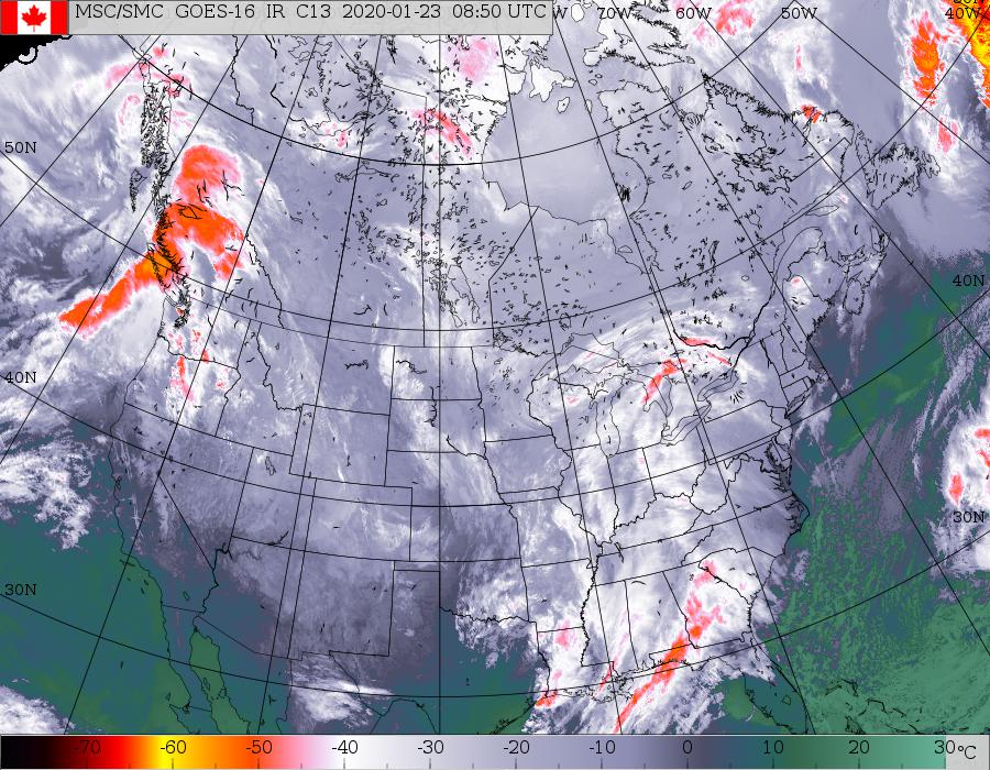
Satellite picture above shows clouds from Great Lakes and south. Most of this is rain...with snow confined to near Great Lakes. This will push east and cover the east coast this weekend. Below - animated maps...snowfall and rainfall projected thru Monday.


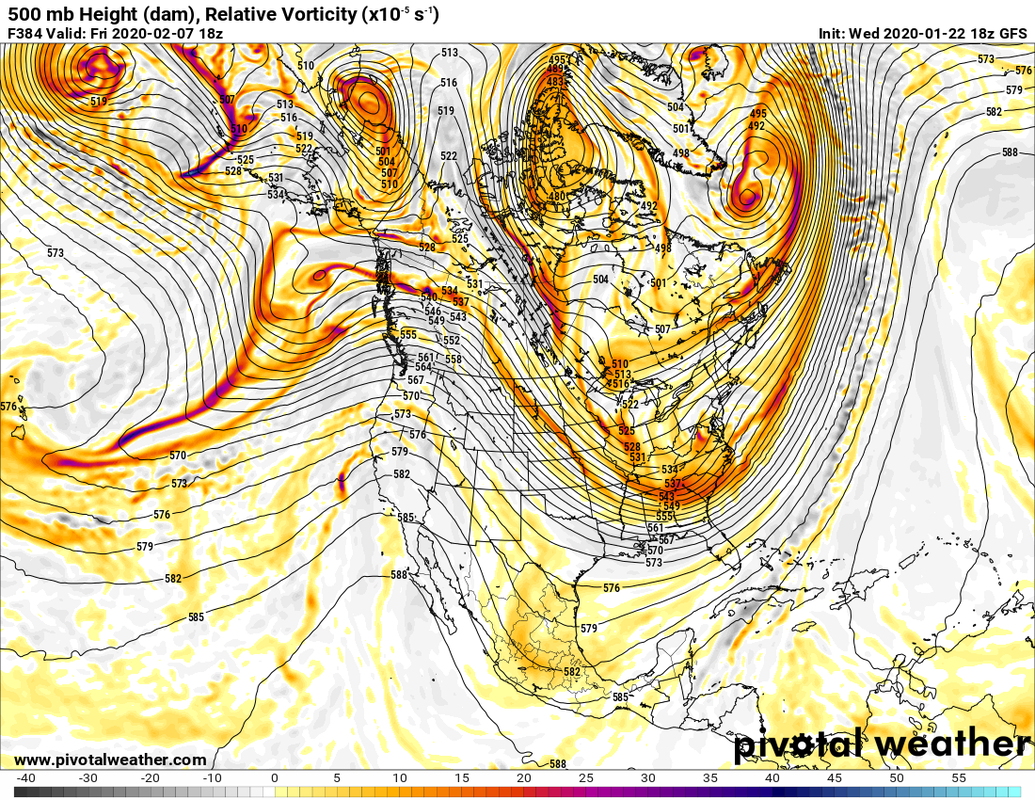
Below - a look at The GFS model prediction for the 500 Mb - upper air for the first week of February. Such a pattern will mean arctic air flooding the Nation and stormy weather for The Eastern Third.
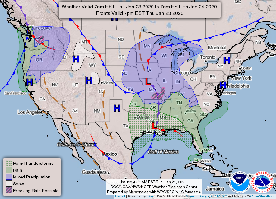
Below - snapshot weather for your Friday. Be safe.

YOUR FORECAST: TODAY: PARTLY SUNNY – 40-45 TNTE: CLOUDY- SNOW SHOWERS LATE – 30-35 TUES: SNOW SHOWERS CHANGE TO RAIN SHOWERS – MID-UPPER 40S...
YOUR FORECAST: TDY: CLOUDY- WET SNOW OR A WINTRY MIX DEVELOPING, AN INCH OR SO,THEN CHANGING TO RAIN – HIGHS MID UPPER 30S TNTE:...
January Thaw – Part 2. East coast storms moving away….quiet and milder weather for much of the nation. System headed into the Rockies will...