

YOUR FORECAST:
TDY: SUNNY TO PARTLY CLOUDY – MID 80S
TNTE:PARTLY CLOUDY- MID 60S
FRI: SUN AND CLOUDS, MAYBE A SHOWER – MID 80S
SAT & SUN: HAZY – HUMID – SHOWERS AND THUNDERSTORMS – MID 80S
WEATHER TRIVIA: 1875- SEVERE COASTAL STORM – CAPE COD, MA. – 57 MPH WINDS

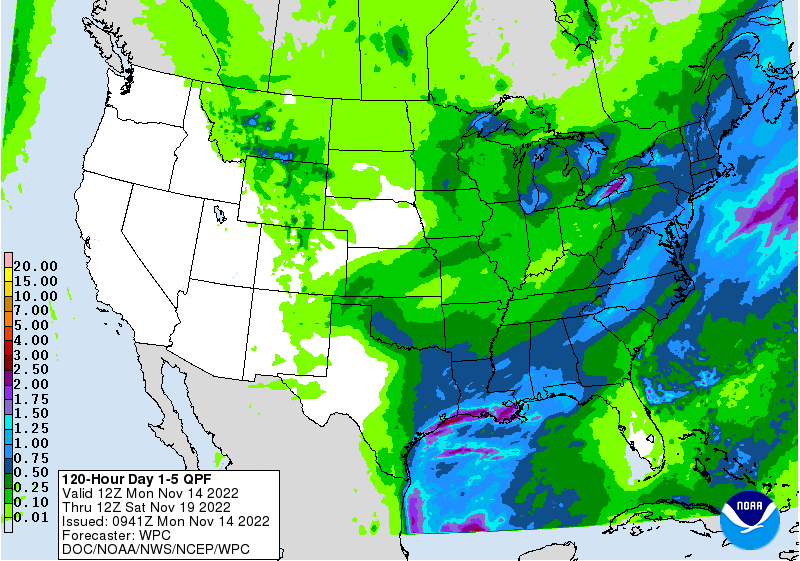
Satellite + radar above shows old storm still going around and bringing cool - unsettled weather to Mid Atlantic. It will weaken and become scattered this weekend. Storms in Dakotas moves east today. Elsewhere..quite.Below - today's severe threat below...animated maps and rainfall through Monday.

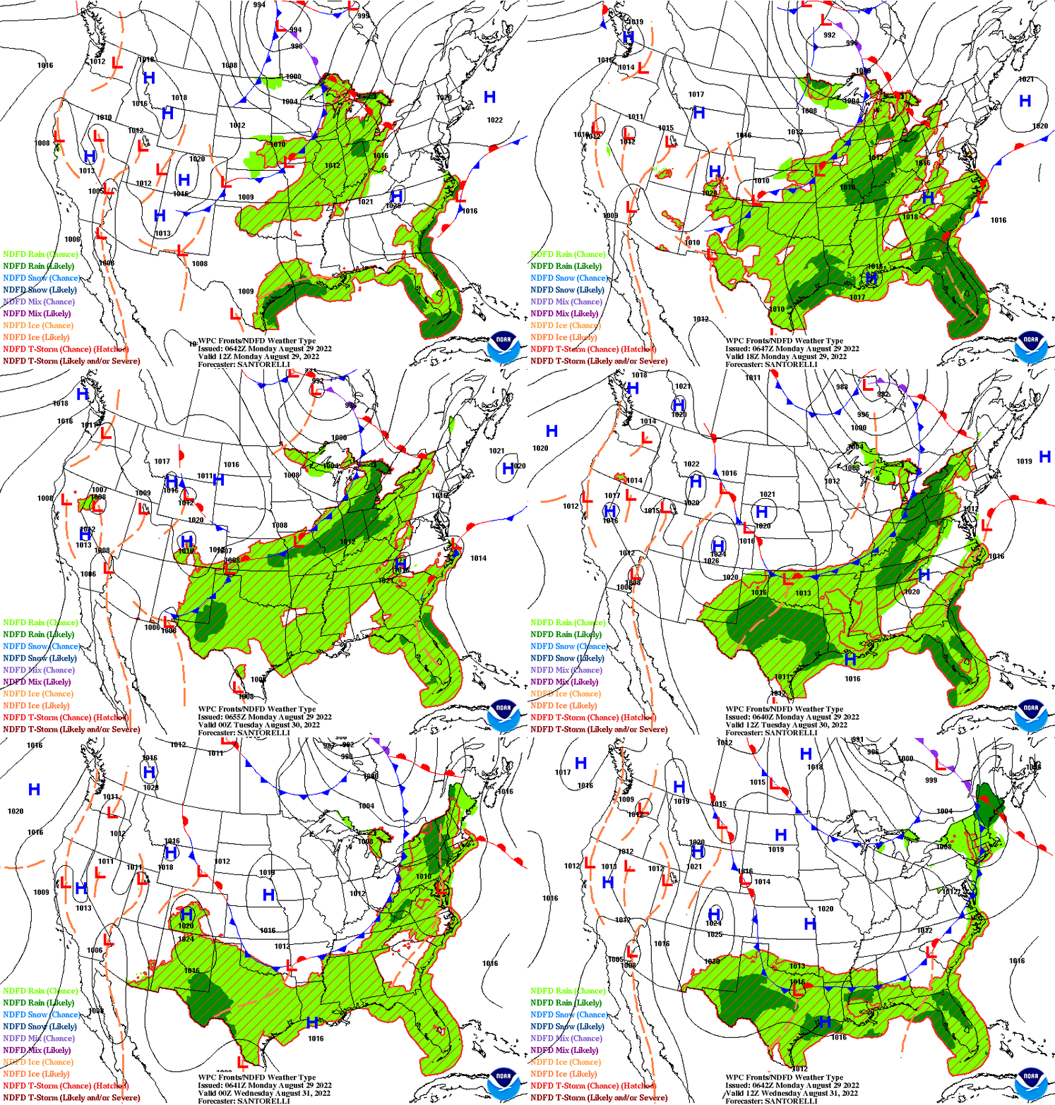
Below - snapshot weather for Friday. Please be safe.


January Closes Colder… A front stalled off East Coast will produce rain with a chance of wet snow on the northern edge from Mid...
YOUR FORECAST:TDY: PARTLY CLOUDY- BREEZY – MID 60S TNTE: CLEAR – CHILLY – 40-45 THURS: SUNNY – 65-70 FRI: CLOUDY- SCATTERED SHOWERS – 65-70...
YOUR FORECAST: TDY: SHOWERS THEN CLOUDY – LOWER 50S TNTE:CLOUDY- 40 SAT:CLOUDY- 50-55 SUN:MAINLY CLOUDY- LATE SHOWERS – 55-60 MON:PARTLY CLOUDY- MID 60S WEATHER...