
YOUR FORECAST:
TDY: SHOWERS THEN CLOUDY – LOWER 50S
TNTE:CLOUDY- 40
SAT:CLOUDY- 50-55
SUN:MAINLY CLOUDY- LATE SHOWERS – 55-60
MON:PARTLY CLOUDY- MID 60S
WEATHER TRIVIA:1974 – SUPER TORNADO OUTBREAK IN MIDWEST: 140 TWISTERS IN 24 HOURS.

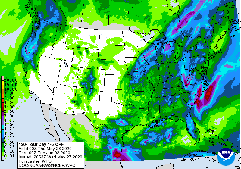
Satellite-radar above - rain and snow from Upper Midwest to Rockies.Showers and storms in Plains. Storm off New England will throw back moisture for Northeast along with gusty winds. Below...animated maps for next 2 days....severe weather for today - rainfall through Monday.


Below- snapshot weather for Friday. Please ....stay indoors unless you
MUST go out.


YOUR FORECAST: TDY: CLOUDY- SHOWERS- 45-50 TNTE: RAIN – LOWER 40S THURS: RAIN OR SHOWERS TAPERING OFF- WINDY- MID 40S FRI: PARTLY CLOUDY AND...

Your Robin Hood Radio Tri-State Forecast TDY: SUNNY – WINDY - MID 70S TNTE: TURNING CLOUDY – MID 50S FRI: PERIODS OF RAIN DEVELOPING...

Your Robin Hood Radio Tri-State Forecast TODAY: SUNNY TO PARTLY CLOUDY– 70-75 TONIGHT: CLEAR- MID 40S SAT: PERIODS OF SUN & CLOUDS – LOW...