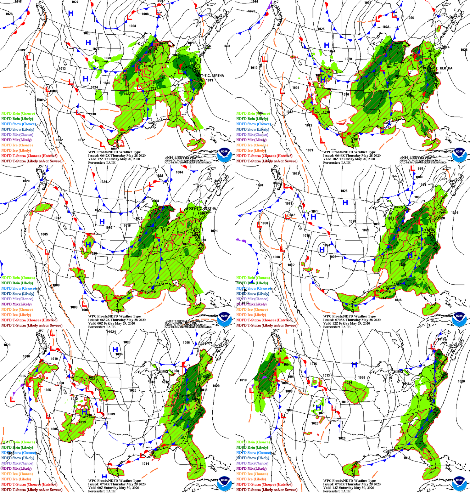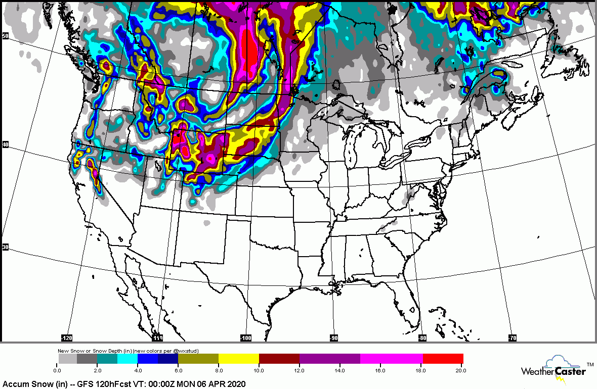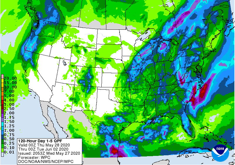
Satellite and radar above - quiet now...but moisture will gather from Gulf and as it crashes with cold air coming down out of Canada - a large plume of wet & wintry weather will form for the eastern half of the Nation. This will include severe thunderstorms in the south...heavy rain for East Coast and ice and snow for Northeast by end of week. Below - animate maps for next 2 days - snowfall and rainfall thru Friday.


Below - snapshot weather for Tuesday. Be safe.


YOUR FORECAST:
TDY: CLOUDY- PERIOD OF RAIN – 40-45
TNTE: CLOUDY- SOME RAIN OR DRIZZLE - 40
WED: PERIODS OF RAIN OR SHOWERS END…FALLING INTO 30S
THURS: CLOUDY- A WINTRY MIX – 30’S
FRI: RAIN MAY MIX WITH OR CHANGE TO SNOW BEFORE ENDING – MID 30S
1920 – 3 DAY NEW ENGLAND WINTER STORM = 10”-15” FELL AND FROZE WITH
70MPH WINDS AT BLOCK ISLAND, R.I.

Your Robin Hood Radio Tri-State Forecast TDY: RAIN DEVELOPING BECOMING HEAVY AT TIMES, TURNING WINDY 45-50 TNTE: RAINY AND WINDY - 40 FRI: WINDY...

Today: Mostly sunny, with a high near 83. Light and variable wind. Tonight: Mostly clear, with a low around 56. Calm wind. Tuesday: Sunny,...

Your Robin Hood Radio Tri-State Forecast TODAY: CLOUDY- SHOWERS – LOWER 60S TONIGHT: SHOWERS, CHANCE OF A THUNDERSTORM – LOWER 50S FRI: SHOWERS AND...