YOUR FORECAST:
TDY: SUN AND CLOUDS- 40
TNTE: PARTLY CLOUDY- 20
WED: SUNNY- LOWER 40S
THUR:SUNNY- MID 30S
FRI: SUNNY- LOWER 40S
WEATHER TRIVIA:1925- RECORD BREAKING COLD IN NEW ENGLAND: -46 N.HAMPSHIRE, -42 VERMONT, -39 IN MAINE.

Satellite + radar above sowers a storm moving through the So. Plains...1"-3" snow north ..rain south. It will move east and pass off Carolinas. New system in Pacific Northwest will head south and then east and could come up Eastern Seaboard on Saturday. Below - animated maps - snowfall and rainfall expected through Saturday.


Below- snapshot weather for Wednesday. Be safe.


URGENT - WINTER WEATHER MESSAGE National Weather Service Albany NY 333 AM EST Wed Feb 23 2022 Northern Litchfield-Southern Litchfield-Northern Berkshire- Southern Berkshire-Western Greene-Eastern...

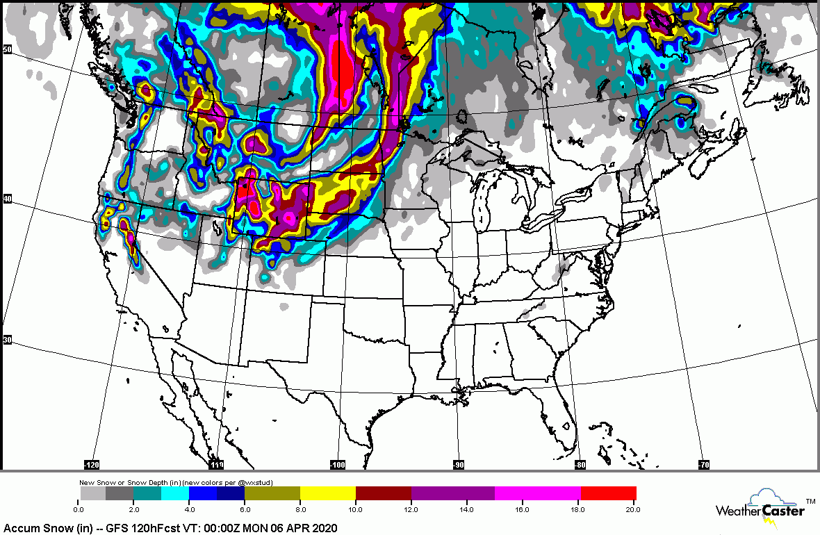
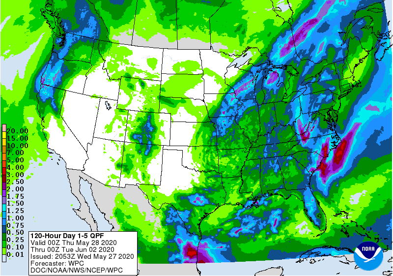
Below: amount of snow forecast over the next 5 days….followed by the animated maps for the next 2 days. Share this:TwitterFacebookEmailLike this:Like Loading...

YOUR FORECAST: TDY: SUNNY AND NICE – MID 60S TNTE:PARTLY CLOUDY- 40 TUES:SUN AND CLOUDS – MID 60S WED:MAINLY CLOUDY- SHOWERS – 55-60 THURS:...