YOUR FORECAST:
TDY: SUNNY- LOWER 40S
TNTE: COLD AND CLEAR- 10 TO 15 – SINGLE #’S COLD SPOTS
THUR:SUNNY- MID 30S
FRI: SUNNY- LOWER 40S
SAT:CLOUDY- RISK OF SOME SNOW – MID 30S
WEATHER TRIVIA:1966- SCHOOLS CLOSE FOR 1 WEEK IN THE EAST….1 TO 3 FT. OF SNOW WHIPPED INTO 15 FT. DRIFTS.

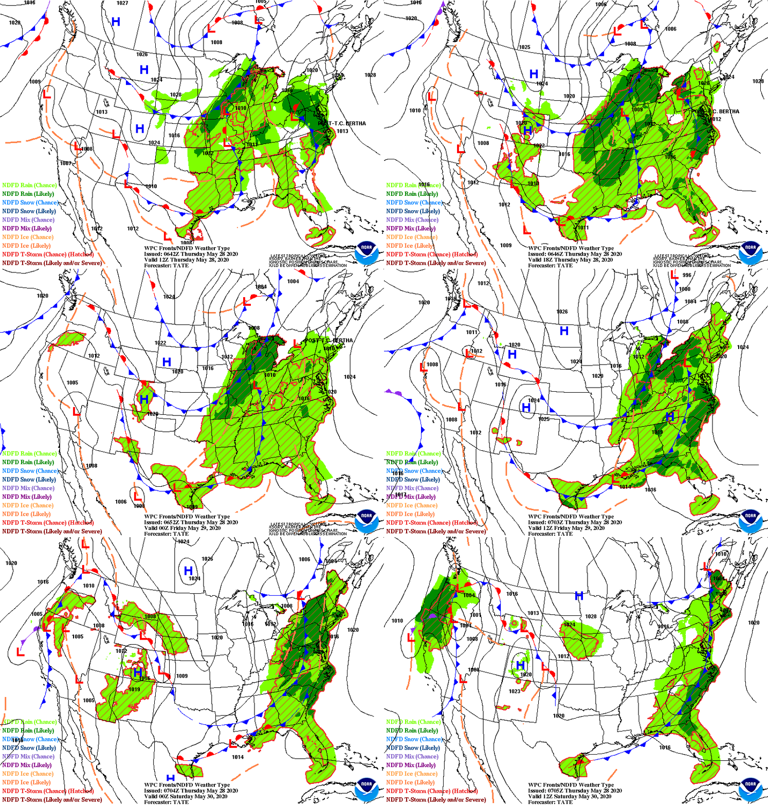
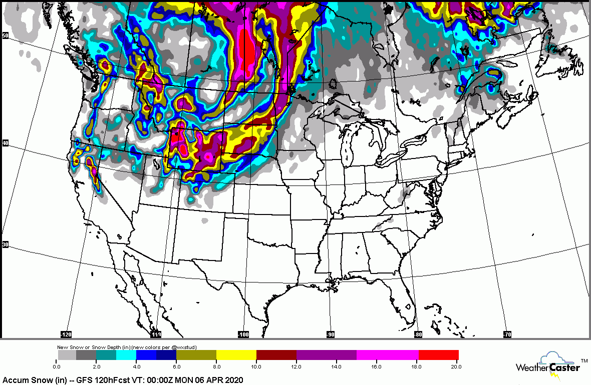
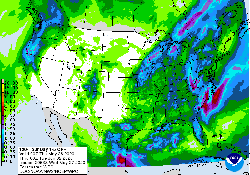
Satellite + radar above sowers a storm moving through the So. Plains...1"-3" snow north ..rain south. It will move east and pass off Carolinas. New system in Pacific Northwest will head south and then east and could come up Eastern Seaboard on Saturday. Below - animated maps - snowfall and rainfall expected through Saturday.


Below- snapshot weather for Wednesday. Be safe.


Your Robin Hood Radio Tri-State Forecast TDY: PARTLY CLOUDY & WINDY AND COLD, SOME SNOWSHOWERS – LOWER 30S TNTE: PARTLY CLOUDY AND COLD –...

Your Robin Hood Radio Tri-State Forecast TDY: SUNNY – AROUND 40 TNTE: CLEAR TO PARTLY CLOUDY – MID 20S TUE: PARTLY SUNNY AND MILD...

ADVISORIES: FLOOD WATCH LATE THURSDAY NIGHT THROUGH LATE FRIDAY NIGHT// WIND ADVISORY 1AM TO 11AM FRIDAY FOR BERKSHIRES.WEATHER TRIVIA:1942 – COLD MADE MORE BITTER...