
TDY: PARTLY SUNNY AND HUMID, SCATTERED THUNDERSTORM – 90
TNTE: PARTLY CLOUDY- 70
TUES: HAZY AND HUMID – CHANCE OF A THUNDERSTORM - MID 80S
WED: SUNNY – NOT AS HUMID – 75-80
THURS:SUN AND CLOUDS AND TURNING MORE HUMID – 75-80
WEATHER TRIVIA:1906 – GUINEA, VIRGINIA GETS 9” OF RAIN IN 40 MINUTES DURING A CLOUDBURST.
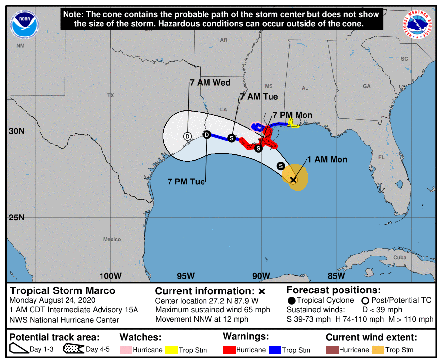
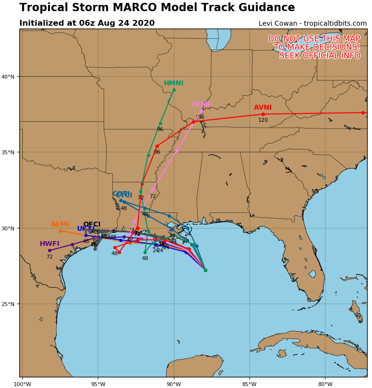
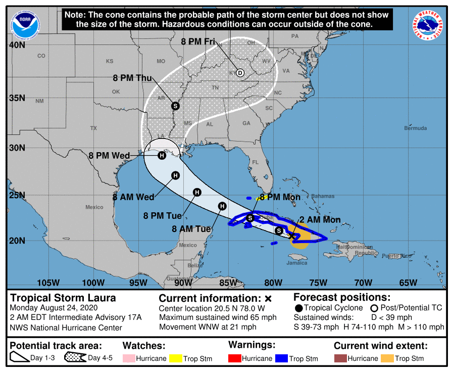

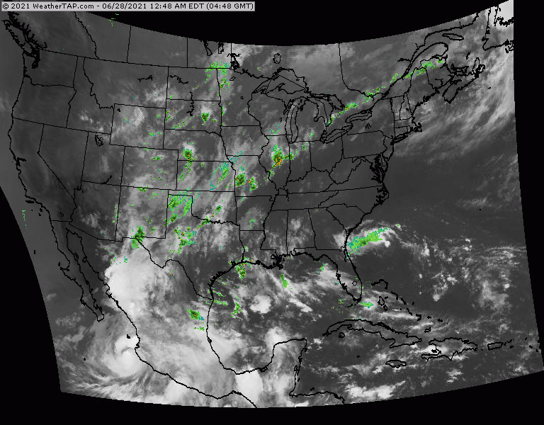
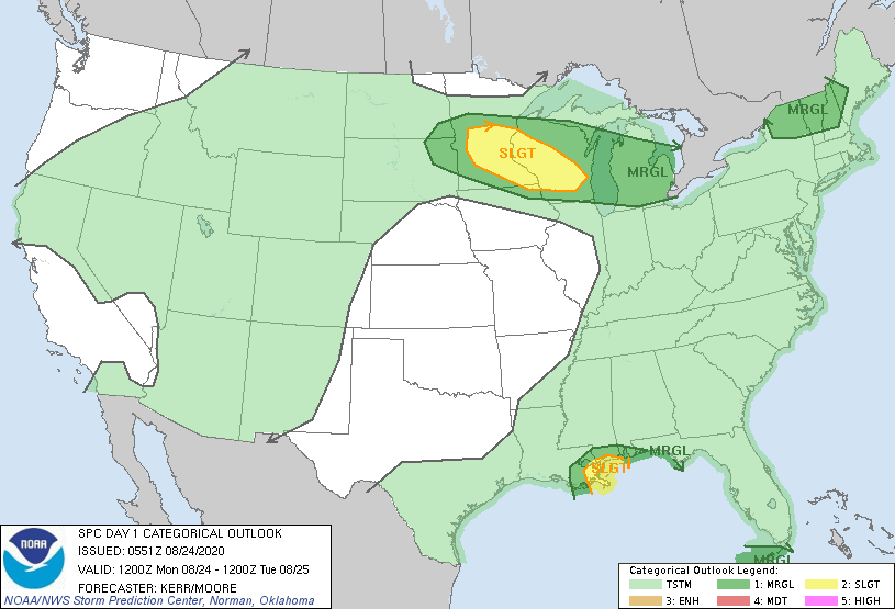
Above - hurricane center for Marco...then computer model tracks...followed by hurricane center for Laura...then computer model tracks. even after these systems make landfall...some of the tropical moisture could be taken into Ohio-Tennessee Valleys and then Mid Atlantic. Below- satellite + radar......animated maps - today;s severe weather threat - rainfall through Friday.


snapshot weather for Tuesday. Be safe.


Your Robin Hood Radio Tri-State Forecast TODAY-– SUN AND CLOUDS – 80-85 TONIGHT – PARTLY CLOUDY- 60 WEDNESDAY – CLOUDY, SCATTERED SHOWERS- 65-70 THURS...

Jose is off the coast of New England! And is wreaking to a tropical storm today….. Share this:TwitterFacebookEmailLike this:Like Loading...
Arctic Flood Gates are Open for Business 1/16/2019 0 Comments Satellite + radar shows disturbance # 1 moving out of Rockies and will bring...