
YOUR FORECAST:
TDY: PARTLY CLOUDY- AFTERNOON GUSTY THUNDERSTORMS – LOWER 80S
TNTE: STORMS END – MID 60S
SAT:PARTLY TO MOSTLY CLOUDY, 80
SUN:PARTLY CLOUDY- 85-90
MON:CONTINUED PARTLY CLOUDY- MID 80S
WEATHER TRIVIA:1966- RECORD HEAT – PHILADELPHIA, PA = 104, NEW YORK CITY AND HARRISBURG, PA = 107

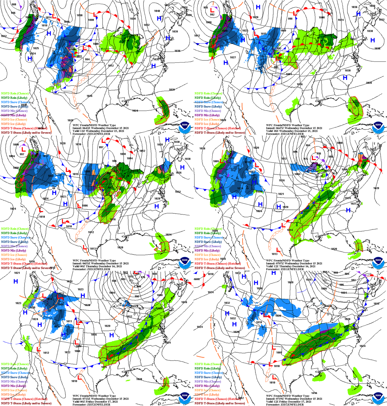
Above - map for Saturday July 4th. Showers and storms Rockies to Plains and across Gulf States. Below - satellite + radar.

Below - is a snapshot view of weather hazards for the next week.

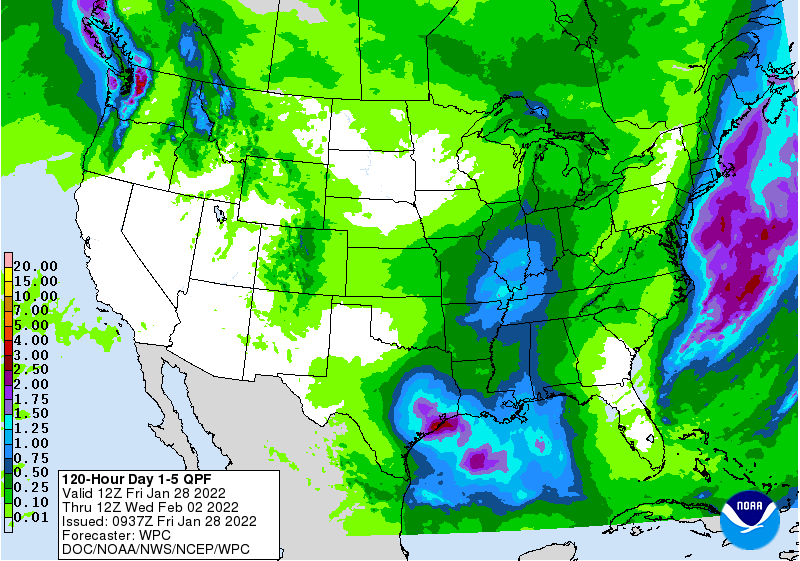
Below - animated maps...todays severe threat and rainfall through Tuesday. Remember to keep safe...stick to the rules and have a happy 4th of July.


TODAY- SOME SUN, WINDY, SHOWERS, A GUSTY THUNDERSTORM – LOW TO MID 70S TONIGHT- SHOWERS END – LOWER 40S FRIDAY – PARTLY SUNNY -...

Today: Partly sunny, with a high near 56. Northeast wind 10 to 14 mph. Tonight: Mostly cloudy, with a low around 45. Northeast wind...

HERE IS YOUR ROBINHOOD RADIO TRI STATE FORECAST YOUR DAY TIME FORECAST TODAY – SHOWERS – 65-70 TONIGHT- BECOMING CLEAR - 50 WEDNESDAY –...