

YOUR FORECAST:
TDY: HAZY..HOT…HUMID – 90
TNTE: PARTLY CLOUDY - 70
TUESDAY THRU THURSDAY: HAZY HUMID SCATTERED SHOWERS AND THUNDERSTORMS EACH DAY. HIGHS 85-90
LITTLE CHANGE ON FRIDAY.
WEATHER TRIVIA:1936 – TEMPERATURE HITS 121F IN NO. DAKOTA…HIGHEST EVER IN THAT STATE.

Radar - satellite picture shows storms Northern Plains which will head east....storms from Texas to Florida. Very warm to hot weather for much of the Nation and to boot...a tropical like disturbance from the Gulf could track up the East coast late week. Below - tropical map.

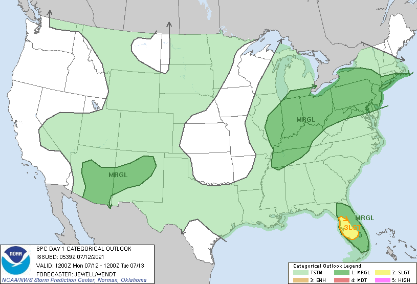
Below - animated maps for next 2 days......today's severe threat .....rainfall amounts through Friday.


Below - snapshot weather for Tuesday....which will not be to different
through much of the week. Be safe.


A widespread light snowfall is expected across the region tonight into Thursday morning. This will likely lead to slippery travel conditions during much of...

Your Robin Hood Radio Tri-State Forecast TDY– GUSTY WINDS, SNOWSHOWERS, SOME SUN – MID 40S TNTE – CLEAR- BREEZY- MID 20S THURS – SUNNY-BREEZY...
YOUR FORECAST: TDY: SUNNY- LOWER 40S TNTE: COLD AND CLEAR- 10 TO 15 – SINGLE #’S COLD SPOTS THUR:SUNNY- MID 30S FRI: SUNNY- LOWER...