
YOUR FORECAST:
TDY: ANY SNOWSHOWERS CHANGE TO RAIN SHOWERS – MID-UPPER 40S
TNTE: CLEAR – LOWS 30
WED: SUNNY – BREEZY- LOWER 50S
THURS: CLOUDY- PERIODS OF RAIN…COULD BEGIN AS A WINTRY MIX – LOW 40S
FRI: WINDY- WARM – SHOWERS – 65-70

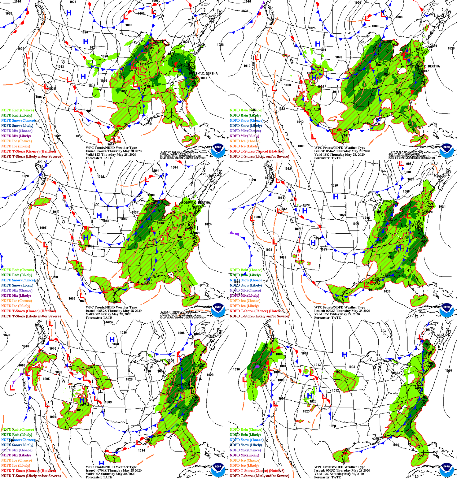
Satellite + radar shows rain and some snow moving across the Northeast. Showers Ohio Valley and Gulf States. Storm in Pacific will send a couple of more waves of wetness through late week then a turn to chilly weather this weekend. Below - today's risk of severe weather in dark green and yellow - centered in Texas.

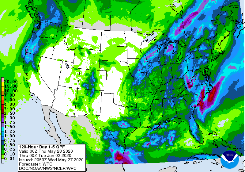
Below - animated maps through Wednesday....snowfall and rainfall predictions through Saturday.


Lastly...snapshot weather for Wednesday . As always...please remember to be safe and listen to the guidelines set by our government.


Your Robin Hood Radio Tri-State Forecast TODAY – SUN… CLOUDS – LOWER 80S TONIGHT – PARTLY CLOUDY – LOWS 55-60 THURSDAY – PARTLY SUNNY...

Today: Rain, mainly after 2pm. High near 47. East wind 7 to 10 mph. Chance of precipitation is 90%. New precipitation amounts between a...

WEATHERCAST: A FRONT NEAR CHICAGO WILL RESULT IN MILD WEATHER, WITH LOTS OF CLOUDS AND SOME RAIN, ESPECIALLY TONIGHT INTO EARLY FRIDAY. AS THE...