

YOUR FORECAST:
TDY:PARTLY SUNNY AND MORE HUMID – 80-85
TNTE:CLOUDY- LOWER 60S
THURS:HAZY – CHANCE OF SHOWERS – 75-80
FRI: SHOWERS AND THUNDERSTORMS – 80
SAT: SHOWERS – AFTERNOON CLEARING – 70-75
WEATHER TRIVIA:1961 – COLD SNAP BRING SNOW SHOWERS TO WHITE PLAINS, N.Y. AND WEST VIRGINIA.
Much of the Nation will be warmer this week. A disturbance near Florida will spiral up coast and bring some rain and showers into Thursday. Front over the central U.S. will head east and reach the East Coast Friday into Saturday.Below - today's risk of severe weather in dark green and yellow.

Below - animated maps for the next couple....rainfall through Saturday...and latest pollen map.


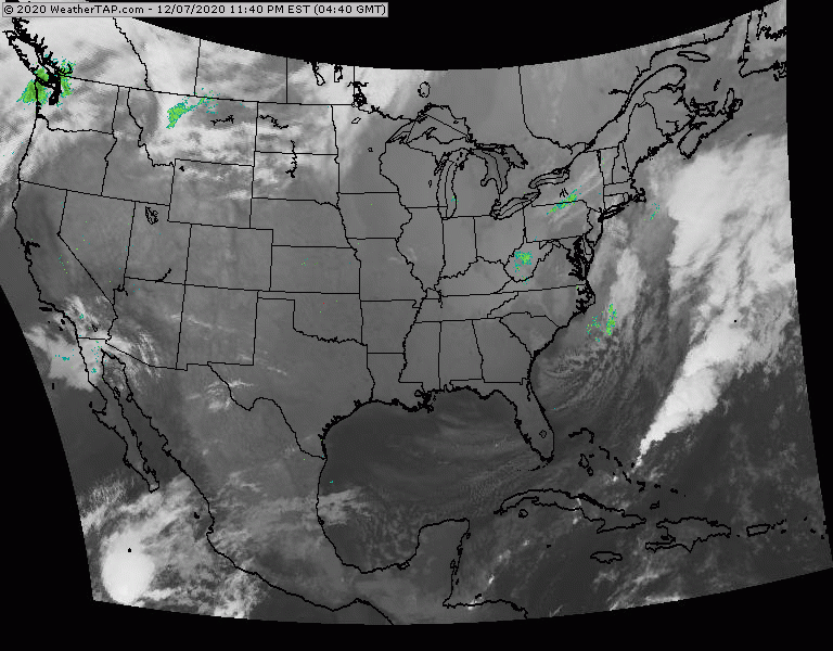
Below - map showing Florida disturbance and snapshot weather for Wednesday.


Your Robin Hood Radio Tri-State Forecast TDY – MOSTLY CLOUDY- LATE SHOWERS – 50-55 TNTE – PERIODS OF RAIN - 40 THURS – CLOUDY-...

Your Robin Hood Radio Tri-State Forecast TDY:PARTLY CLOUDY- MID UPPER 70S TNTE:CLOUDY- MID 50S FRI: A SHOWER OTHERWISE SOME SUN – MID 60S SAT...
YOUR FORECAST: TDY: INEFFECTIVE SUNSHINE WITH AN ICY WIND TEMPS IN 20S FALLING INTO TEENS TNTE: CLEAR AND FRIGID – 0 TO 5 BELOW ...