
YOUR FORECAST:
TDY: MOSTLY SUNNY AND WARM – 80-85
TNTE:PARTLY CLOUDY- LOWER 60S
WED:PARTLY SUNNY AND MORE HUMID – 80-85
THURS:HAZY – CHANCE OF SHOWERS – 75-80
FRI: SHOWERS AND THUNDERSTORMS - 80
WEATHER TRIVIA:1967 – NEW ENGLAND STORM: 7” OF RAIN AT NANTUCKET, MA., 9” OF SNOW IN SOUTHERN VERMONT AND NEW HAMPSHIRE.

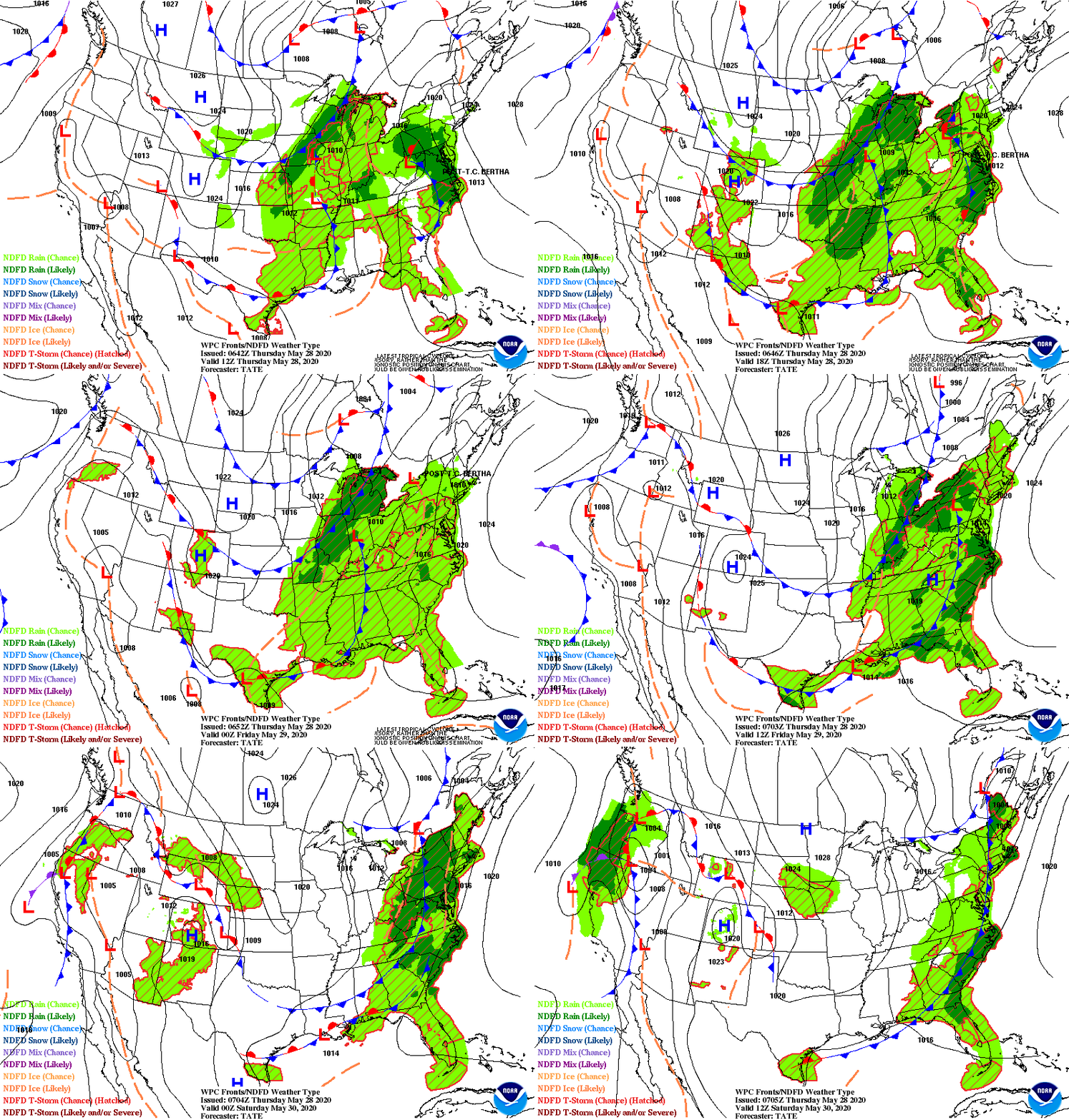
Much of the Nation will be warmer this week. A disturbance near Florida will spiral up coast and bring some rain and showers into Thursday. Front over the central U.S. will head east and reach the East Coast Friday into Saturday.Below - today's risk of severe weather in dark green and yellow.

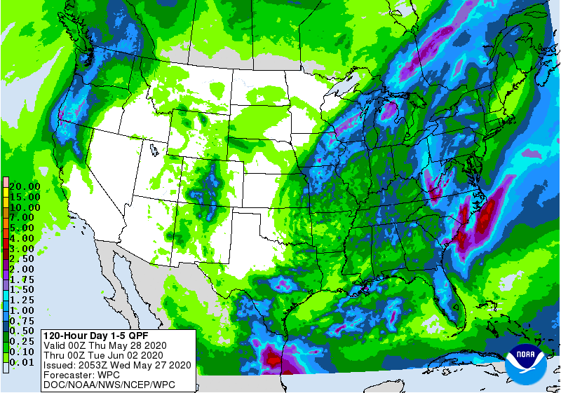
Below - animated maps for the next couple....rainfall through Saturday...and latest pollen map.


Below - map showing Florida disturbance and snapshot weather for Wednesday.


TODAY – CLOUDY- SPOTTY DRIZZLE - MID 50S TONIGHT – CHANCE OF A SHOWER – 45-50 FRIDAY – SOME SUN – 65-70 SATURDAY –...

SORRY, NO AUDIO TODAY, COMPUTER MALFUNCTION! Power-House Storm Exits Northeast 10/30/2017 0 Comments Very intense storm in Northern New York heads into Canada after...

TODAY – PARTLY SUNNY – BREEZY – 65-70 TONIGHT – CLEAR – 35-40 SATURDAY – SUN AND CLOUDS – MID 60S SUNDAY- EARLY DRIZZLE...