
YOUR FORECAST:
TDY: PARTLY SUNNY AND WINDY – MID UPPER 50S
TNTE: MAINLY CLEAR..COLD = MID 30S
WED: SUNNY- BREEZY – LOWER 60S
THURS: SUN MIXING WITH CLOUDS – MID 60S
FRI: HAZY-BREEZY-WARM – SHOWERS AND A THUNDERSTORM – MID 70S
WEATHER TRIVIA:1934…GREAT DUST BOWL STORM DARKENED SKIES FROM OKLAHOMA TO THE ATLANTIC COAST.

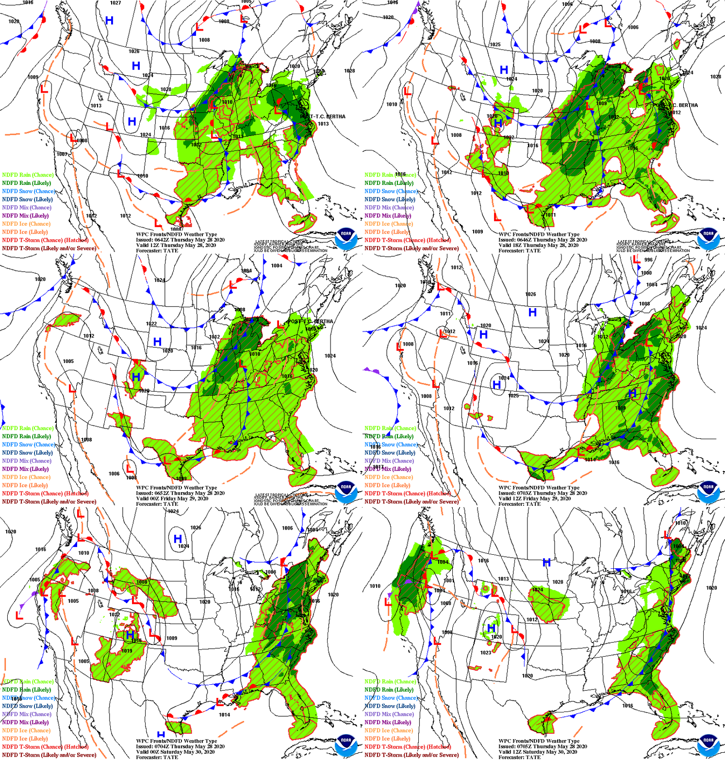
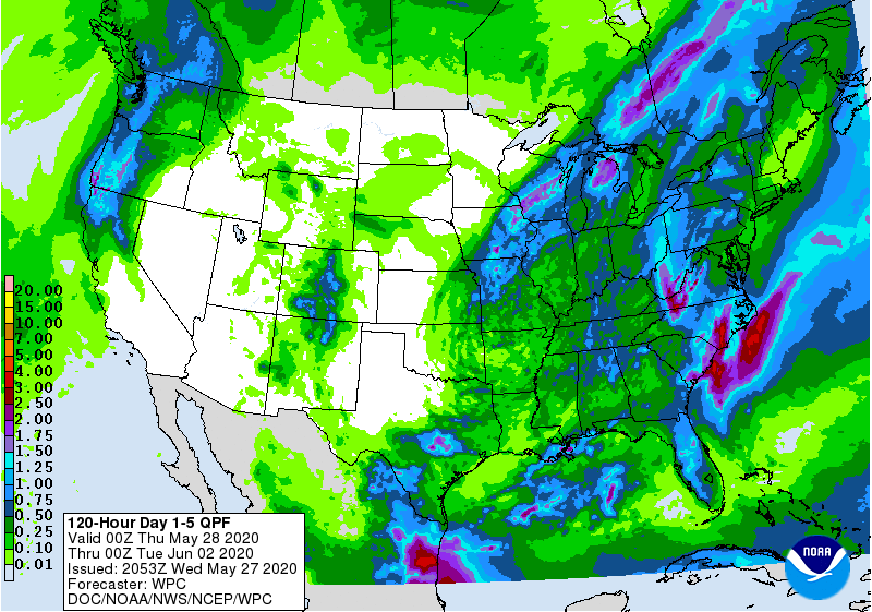
Satellite + radar above showers storms in Southern Plains headed east...another system crossing the Rockies will arrive on East Coast by Friday. A warming trend is noted for much of the Nation as the week moves on. Below - animated maps for next 2 days...rainfall through Saturday and today's UV map index.


Below - snapshot weather for Wednesday. STAY SAFE ONLY BY WEARING YOUR MASK AND SAFE DISTANCING.


YOUR FORECAST: TDY: SUNNY AND NICE – MID 60S TNTE:PARTLY CLOUDY- 40 TUES:SUN AND CLOUDS – MID 60S WED:MAINLY CLOUDY- SHOWERS – 55-60 THURS:...

Your Robin Hood Radio Tri-State Forecast TODAY – PARTLY SUNNY – PLEASANT – 70 TONIGHT – CLEAR AND NIPPY – UPPER 40S SATURDAY –...

WEATHER TRIVIA: 1857 – HURRICANE DIANE STALLS NEAR CAPE FEAR, N.C. WITH 120 MPH WINDS AND 18” OF RAIN. WEATHER-CAST LOOKS LIKE THE SOGGY...